Fall Hiking · Ridgway, CO
Ridgway State Park
Before you go
Live · nearest station Montrose, 19 miGood window today. Daylight to 7:06 pm.
Thunderstorms
Feels like 71°
Trailhead temp
67° est. at 7,000 ft
Storm chance
26% tonight
Wind
5 mph NW
UV index
0.1 low
Sun window
6:59 am to 7:06 pm
Distance
5mi round trip
Elevation gain
—
High point
7,000ft
Season
Sep - Novin season
About
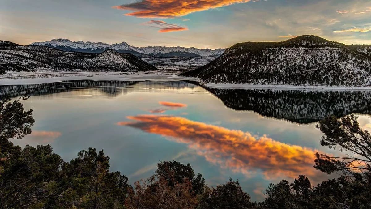
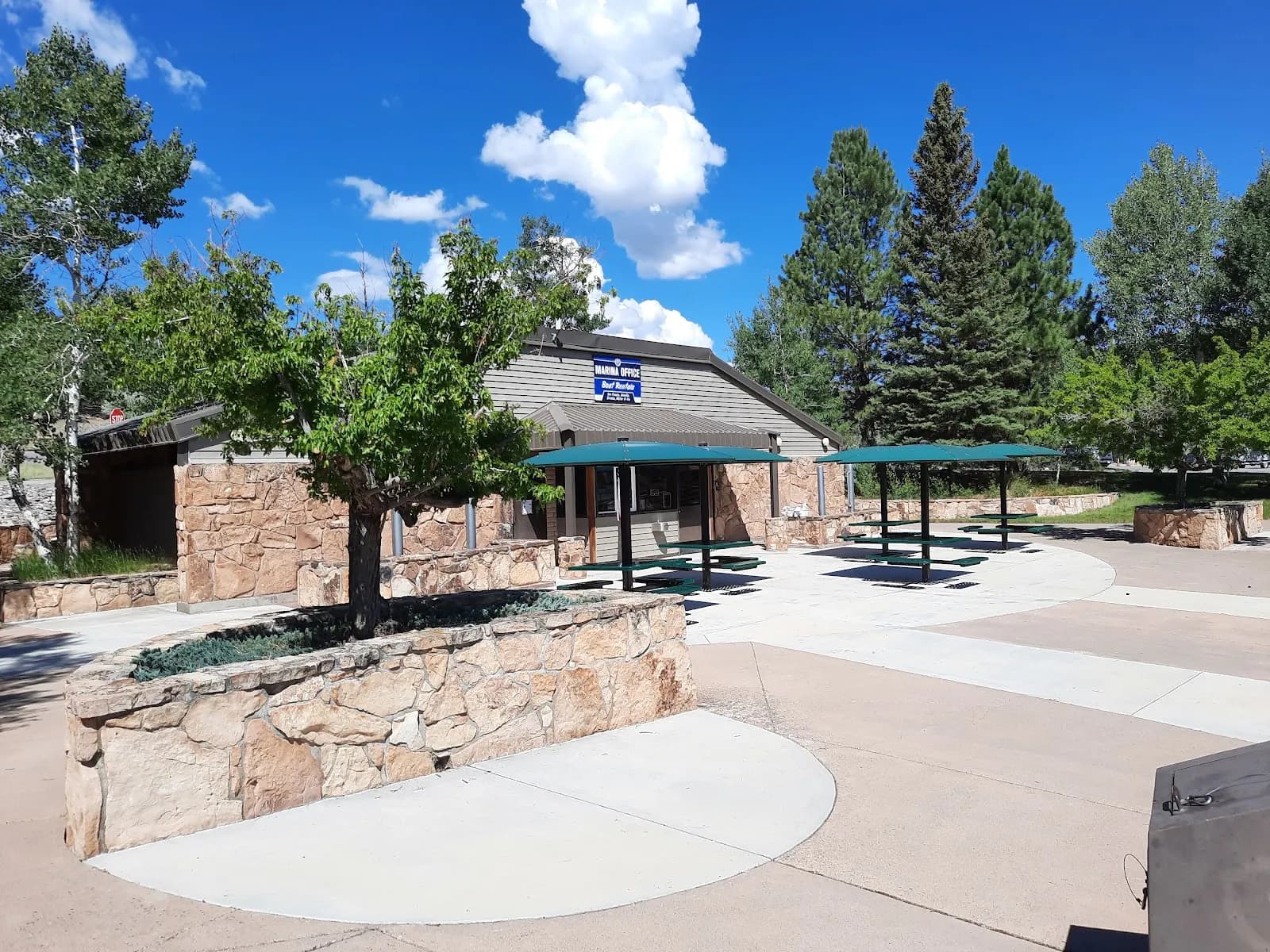
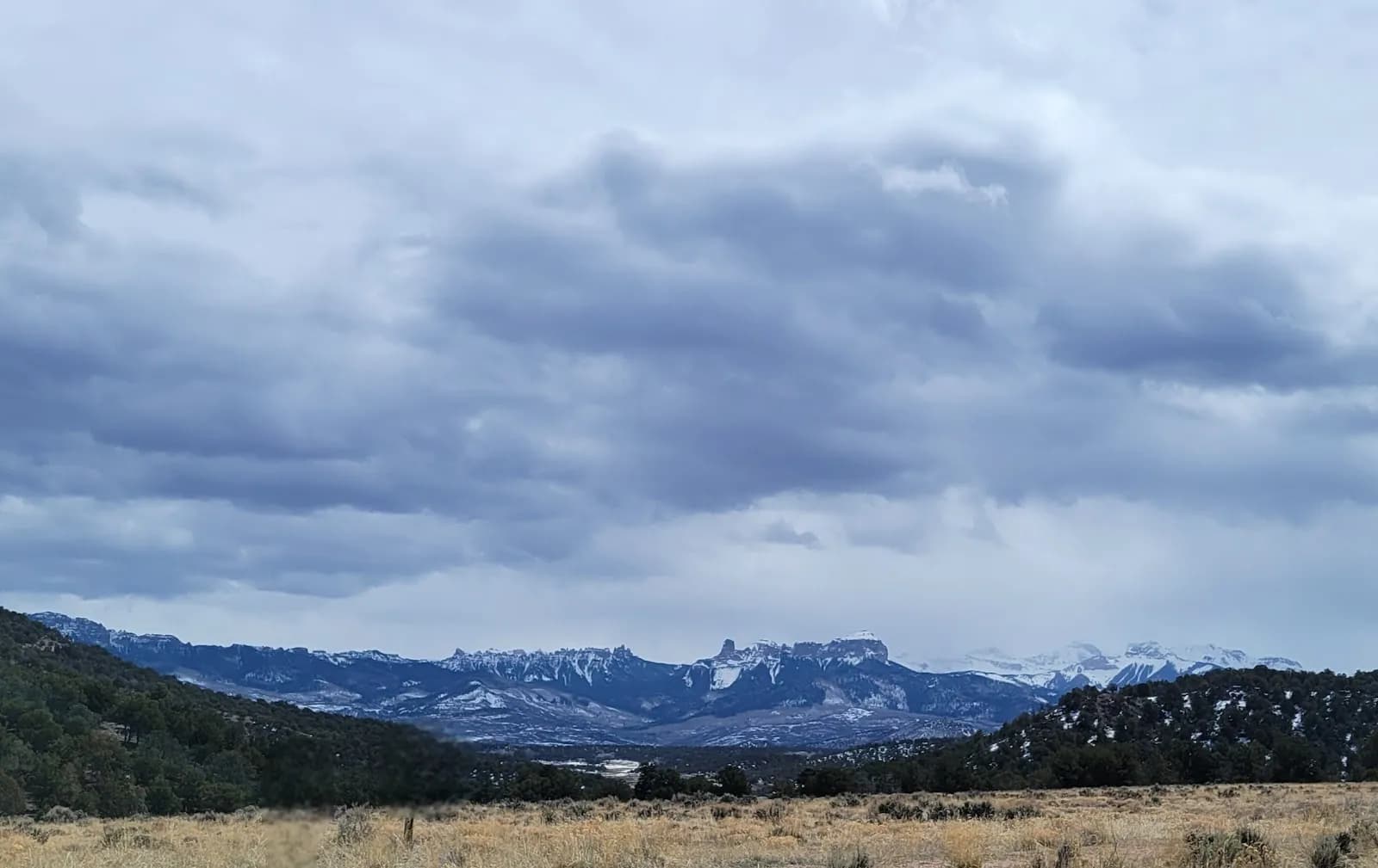
Ridgway State Park in Ridgway, Colorado, offers moderate hiking at 7,000 feet elevation. The park contains approximately 15.6 miles of trails, including about three miles of universally accessible concrete paths and 12.6 miles of natural surface trails. These trails traverse various eco-zones, connecting the Pa-Co-Chu-Puk, Dallas Creek, and Dutch Charlie areas. Hiking is suitable from September through November, with trails open year-round. The typical duration for a 5-mile hike is about two hours. Facilities include parking, restrooms, and picnic areas located near the trails. Leashed dogs are permitted on all park trails. The terrain varies from level shoreline paths to rocky or uneven sections, with changing weather conditions common in the fall. The park is situated near the San Juan Mountains and Ridgway Reservoir.
Trail profile
Gain
—
Avg grade
—
Steepest
—
High point
7,000 ft
Good to know
Parking at the trailhead
Restrooms available
Dogs allowed on leash
Waypoints
No waypoints mapped for this trail yet.
What people say
Reviews
No reviews yet
Been here? Help the next person out.
Within 30 miles