Hiking · Ridgway, CO
Ridgway State Park Visitors Center
Before you go
Live · nearest station Telluride, 20 miStorms build later today. Plan an early finish.
Thunderstorms
Feels like 54°
Trailhead temp
60° est. at 7,053 ft
Storm chance
58% tonight
Wind
5 mph NE
UV index
0 low
Sun window
6:59 am to 7:06 pm
Distance
—
Elevation gain
—
High point
7,053ft
Season
Jan - Dec
About
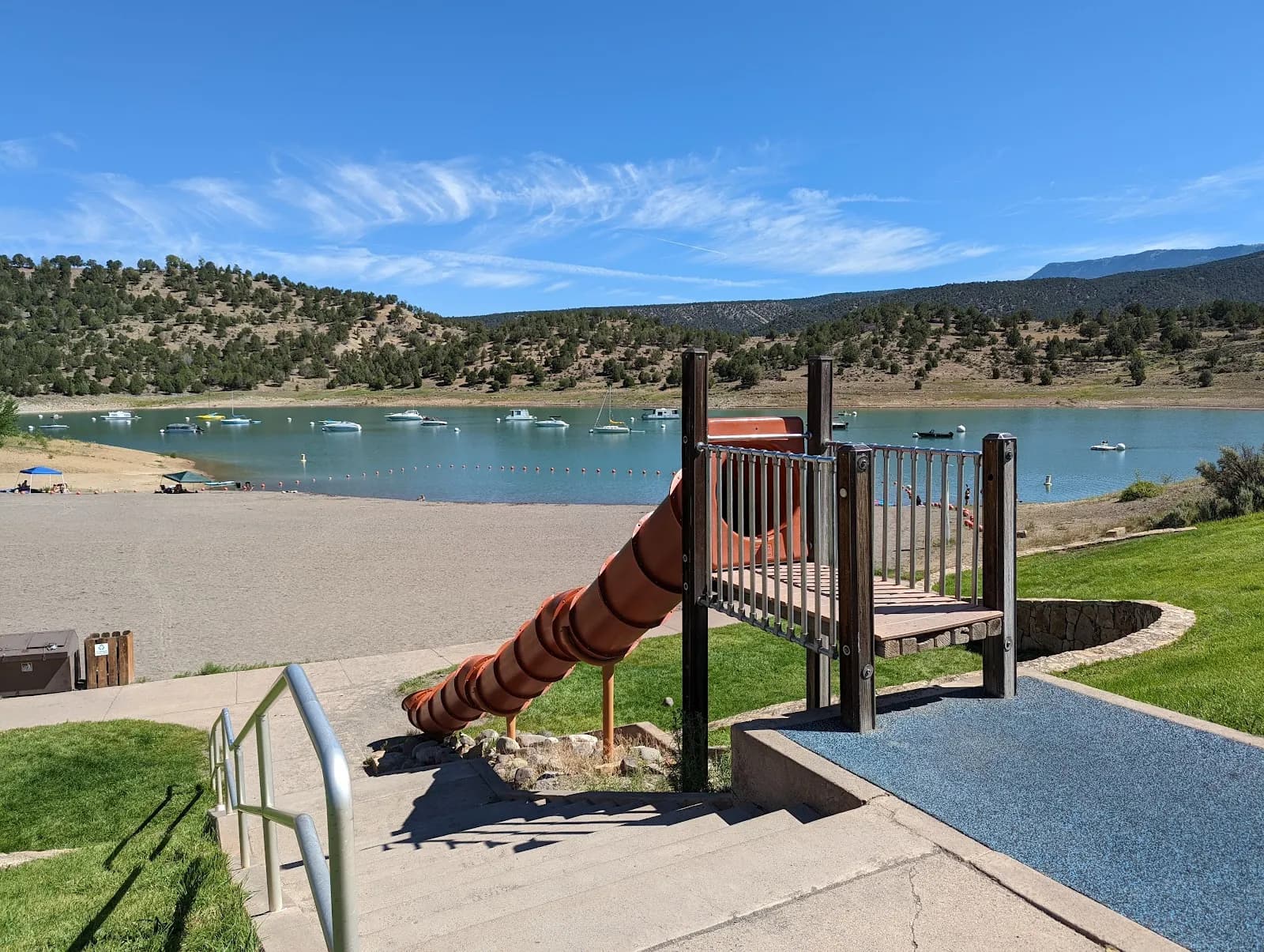
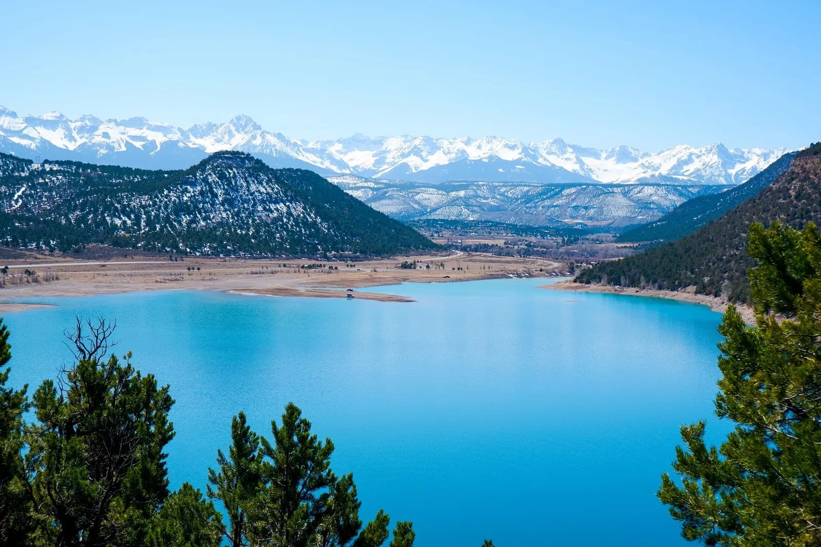
The Ridgway State Park Visitors Center acts as a primary trailhead for moderate hiking routes in Ridgway, Colorado, situated at 7,053 feet elevation. The area offers approximately 15.6 miles of trails within the park itself, with access to the broader Ridgway Area Trails (RAT) system. Trails vary in terrain, including shoreline paths along Ridgway Reservoir and wooded sections. The park is open year-round, with hiking available in winter alongside snowshoeing on designated trails. Parking is available at the center, and leashed dogs are permitted. The Visitors Center itself, located at 150 Racecourse Rd, provides maps, restrooms, and potable water, typically operating May through October. The park is located just 15 miles from Ouray, near the base of the San Juan Mountains.
Trail profile
Gain
—
Avg grade
—
Steepest
—
High point
7,053 ft
Good to know
Parking at the trailhead
Dogs allowed on leash
Waypoints
No waypoints mapped for this trail yet.
What people say
Reviews
No reviews yet
Been here? Help the next person out.
Within 30 miles