Fall Hiking · Rifle, CO
Rifle Arch Trail
Before you go
Live · nearest station Glenwood Springs, 26 miGood window today.
Cloudy
Feels like 60°
Storm chance
13% tonight
Wind
5 mph NNE
Distance
—
Elevation gain
—
High point
5,880ft
Season
Sep - Novin season
About
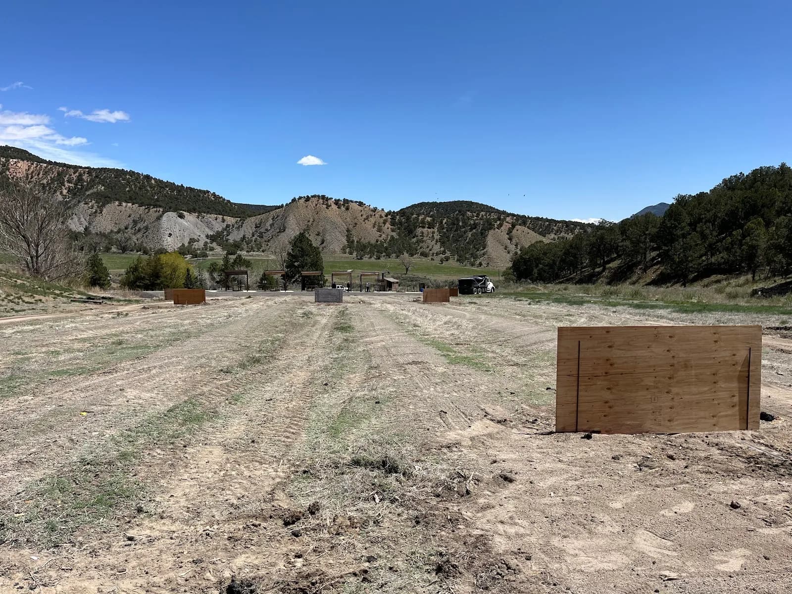
The Rifle Arch Trail leads to a prominent 150-foot sandstone arch formation near Rifle, Colorado. The trailhead is located on a pull-off from Highway 13, marked by a gate that hikers must close behind them. The route is approximately 1.5 miles long and generally takes 1 to 3 hours to complete. The terrain begins flat through sagebrush flats and transitions into pinyon and juniper forests. The final approach to the arch involves a steep, rocky scramble over shale for roughly one-tenth of a mile. At the destination, visitors can view the arch from a bench below or climb to the interior for a framed view of the opposite mountain ridge line. The trail is pet-friendly and allows parking, though there are no bathrooms at the trailhead. Hikers should bring water and sunscreen due to limited shade and exposure. The hike is hot and dry in summer but is considered pleasant in the fall.
Trail profile
Gain
—
Avg grade
—
Steepest
—
High point
5,880 ft
Good to know
Parking at the trailhead
Restrooms available
Dogs allowed on leash
Waypoints
No waypoints mapped for this trail yet.
What people say
Reviews
No reviews yet
Been here? Help the next person out.
Within 30 miles