Wildlife Viewing · Rifle, CO
West Rifle Creek State Wildlife Area Shooting Range
Before you go
Live · nearest station Glenwood Springs, 25 miGood window today. Daylight to 7:06 pm.
Cloudy
Feels like 66°
Storm chance
13% tonight
Wind
5 mph W
UV index
0.1 low
Sun window
6:59 am to 7:06 pm
Distance
—
Elevation gain
—
High point
6,078ft
Season
Jan - Dec
About
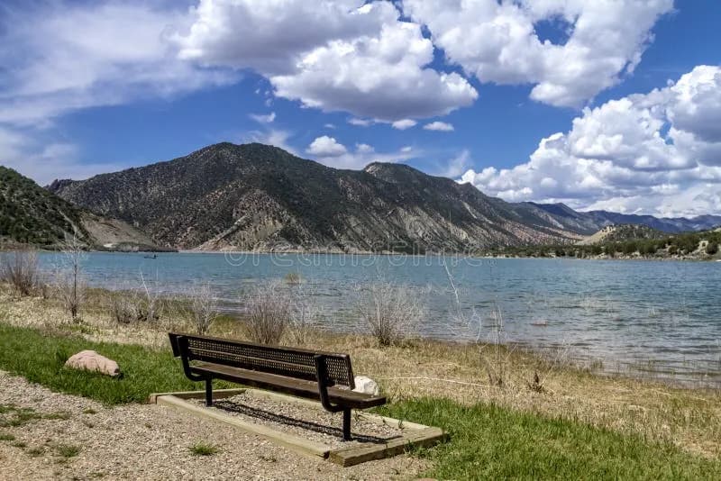
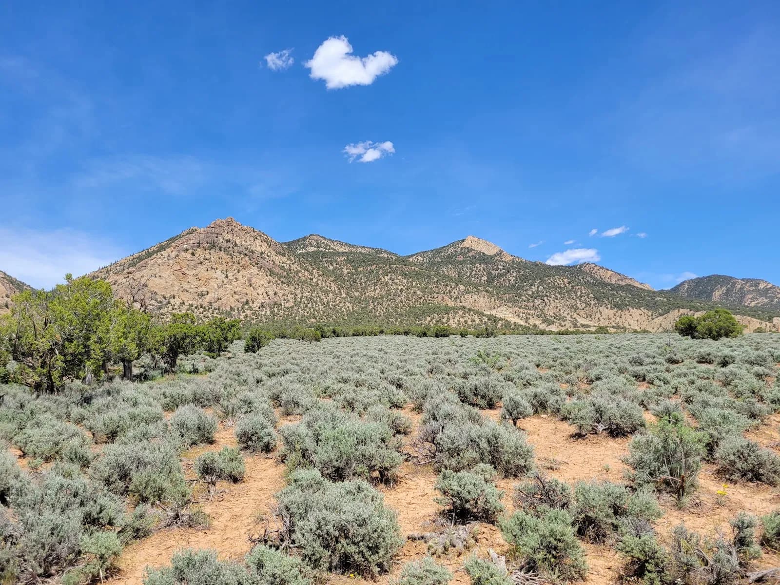
The West Rifle Creek State Wildlife Area Shooting Range in Rifle, Colorado, serves as a designated habitat managed by Colorado Parks and Wildlife. Located at an elevation of 6,078 feet, the site offers wildlife viewing opportunities alongside its primary function as a public shooting range. The terrain is classified as moderate, requiring visitors to account for varying ground conditions that can shift with the seasons. The area remains open year-round, though winter months may present muddy or snowy surfaces. Access requires a valid hunting license, fishing license, or State Wildlife Area (SWA) pass for all visitors aged 16 and older. This requirement applies to both vehicle entry and those using trails leading into the area. Parking is available on-site, and pets are permitted. Visitors typically spend approximately two hours at the location. Regulations emphasize safety within the habitat. Discharge of firearms or bows is prohibited outside of designated hunting seasons and specific shooting range areas. Camping is allowed for licensed hunters during established big game seasons, extending three days before and after each season. Fires are permitted within containment structures during camping periods. Visitors must maintain control of their firearm muzzles, ensuring they point in a safe direction to prevent injury or property damage. The SWA pass is valid from March 1 of the current year through March 31 of the following year and can be obtained online, by phone, or at sales locations. Digital passes are available via the My CPW app.
Trail profile
Gain
—
Avg grade
—
Steepest
—
High point
6,078 ft
Good to know
Parking at the trailhead
Dogs allowed on leash
Waypoints
No waypoints mapped for this trail yet.
What people say
Reviews
No reviews yet
Been here? Help the next person out.
Within 30 miles