Hiking · Gunnison, CO
Scarp Ridge Trail
Before you go
Live · nearest station Gunnison, 3 miStorms build later today. Plan an early finish.
Thunderstorms
Feels like 55°
Storm chance
57% tonight
Wind
5 mph ENE
Distance
3.4mi round trip
Elevation gain
473ft
High point
8,491ft
Season
Jan - Dec
About
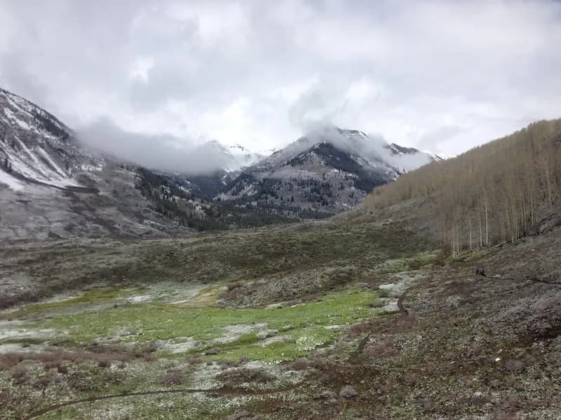
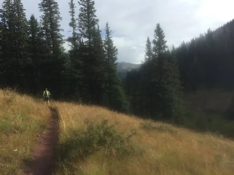
The Scarp Ridge Trail is a difficult hiking route located near Crested Butte and Gunnison, Colorado. It offers ridge hiking with views of the Ruby Range and Paradise Divide. The trail ascends through a wildflower-covered hillside to the ridge, where hikers can follow the path east. Key junctions include the Gunsight notch, which leads to the summit of Mt. Emmons or north down the Gunsight road toward the Slate River. Access typically begins from a parking area near the old Irwin Lodge or Lake Irwin Campground. Hikers can reach the trailhead via Forest Roads 419 and 421. Some sources indicate the access road requires a 4WD high-clearance vehicle. Parking is limited to pull-off spaces or the area before the lodge; if space is unavailable near the lodge, parking at the lake is an alternative to avoid blocking access. The trail is open year-round, though winter conditions require additional gear for snow and ice.
Trail profile
Gain
473 ft
Avg grade
3%
Steepest
3%
High point
8,491 ft
Good to know
Parking at the trailhead
Waypoints
Latest trail reportgood
Trail is in good condition. No significant obstacles or hazards reported.
Reported Mar 2, 2025Verified
What people say
Reviews
No reviews yet
Been here? Help the next person out.
Within 30 miles