Hiking · Durango, CO
Skyline Trail
Before you go
Live · nearest station Durango, 0 miGood window today.
Mostly Sunny
Feels like 65°
Storm chance
14% afternoon
Wind
5 mph S
Animas River at Durango is running 1,200 cfs and falling, water 49°.
Distance
1.7mi round trip
Elevation gain
260ft
High point
7,120ft
Season
Jan - Dec
About
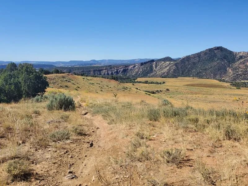
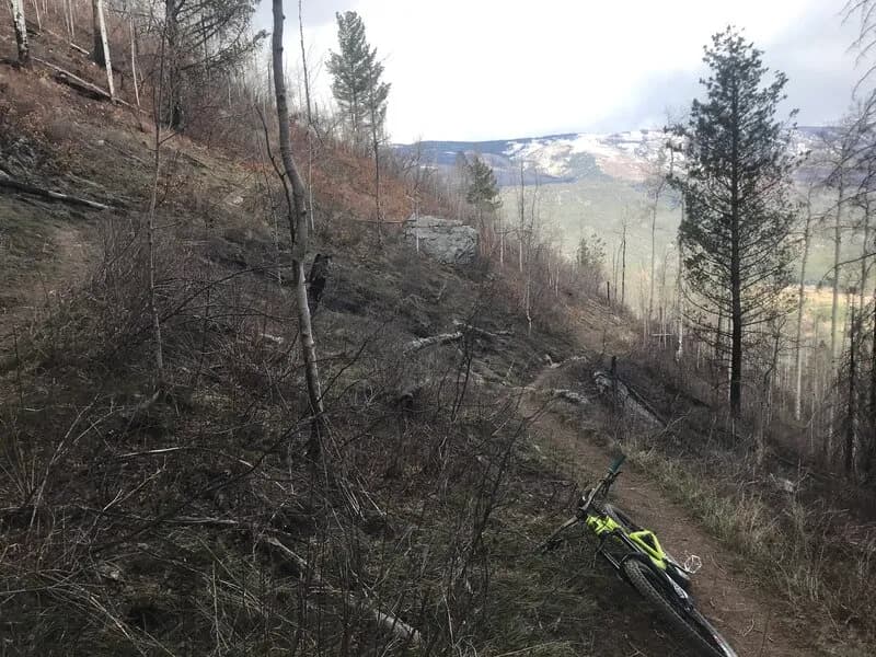
The Skyline Trail is a 1.6 to 1.7-mile dirt path in Durango, Colorado, managed by the City of Durango as part of the Fort Lewis College trail system. It serves as a moderate out-and-back route with an option to loop into the Horse Gulch trail system. The trail climbs Raider Ridge, gaining approximately 744 feet in elevation between 7,111 and 7,855 feet. Hikers encounter switchbacks leading to a viewpoint offering views of Durango, the Animas Valley, and Horse Gulch. The trail allows hiking, biking, and horses. A small parking area is available at the Skyline subdivision off Jenkins Ranch Road. The best time to visit is March through November, though winter recreation is possible. Trail conditions are reported as generally poor but manageable for hiking and biking.
Trail profile
Gain
260 ft
Avg grade
3%
Steepest
3%
High point
7,120 ft
Good to know
Parking at the trailhead
Waypoints
Latest trail reportgood
Trail is in good condition. No significant obstacles or hazards reported.
Reported Mar 2, 2025Verified
What people say
Reviews
No reviews yet
Been here? Help the next person out.
Within 30 miles