Camping · Montrose, CO
South Rim Campground
Before you go
Live · nearest station Montrose, 11 miGood window today.
Cloudy
Feels like 62°
Trailhead temp
53° est. at 8,393 ft
Storm chance
26% tonight
Wind
5 mph SSE
Distance
—
Elevation gain
—
High point
8,393ft
Season
May - Sepin season
About
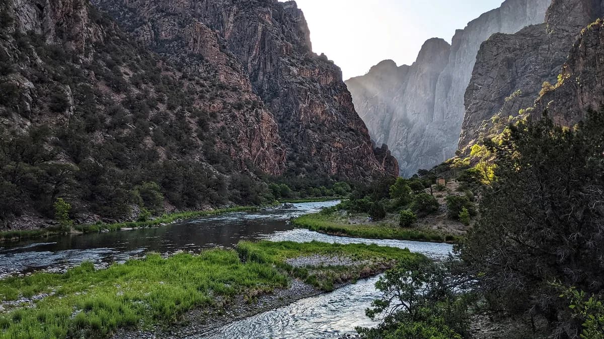
South Rim Campground sits on the rim of Black Canyon of the Gunnison National Park, approximately six miles east of Montrose via Highway 50 and Highway 347. Located at an elevation of 8,393 feet, the site offers moderate difficulty access with parking and vault toilets. The campground features 88 sites, including primitive tent spots and partial hookups in Loop B. Water is available seasonally, though cell service remains spotty within the campground boundaries. Following the 2025 South Rim Fire, approximately 25 non-electric sites have reopened for the 2026 season. Reservations are required and processed online through Recreation.gov, with fees set at $34 for electric sites and $20 for non-electric ones. The operating season runs from mid-May through late September. Black bears are present, and bear-proof storage lockers are provided for food security. The visitor center is accessible via the one-mile Rim Rock Trail, which connects to canyon overlooks and ranger programs.
Trail profile
Gain
—
Avg grade
—
Steepest
—
High point
8,393 ft
Good to know
Parking at the trailhead
Restrooms available
Dogs allowed on leash
Waypoints
No waypoints mapped for this trail yet.
What people say
Reviews
No reviews yet
Been here? Help the next person out.
Within 30 miles
Nearby spots
Black Canyon Of The Gunnison County Camp Grounds
Black Canyon of the Gunnison National Park Sign