Rock Climbing · Grand Mesa, CO
Teenage Angst
Before you go
Live · nearest station Delta County, 25 miGood window today.
Cloudy
Feels like 63°
Trailhead temp
44° est. at 10,420 ft
Storm chance
17% tonight
Wind
5 mph ESE
Distance
—
Elevation gain
—
High point
10,420ft
Season
Jan - Dec
About
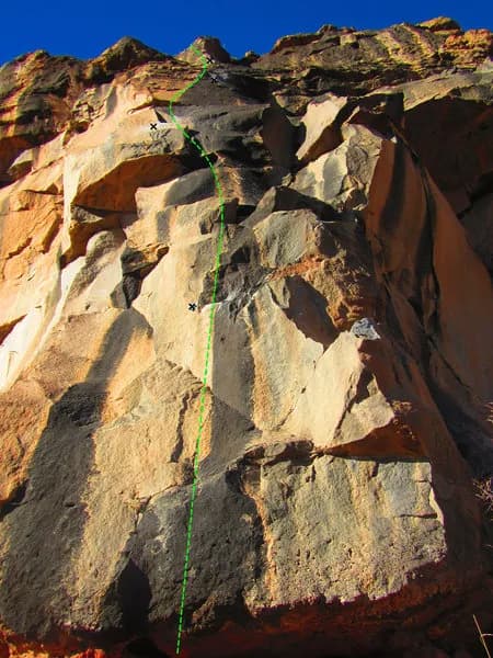
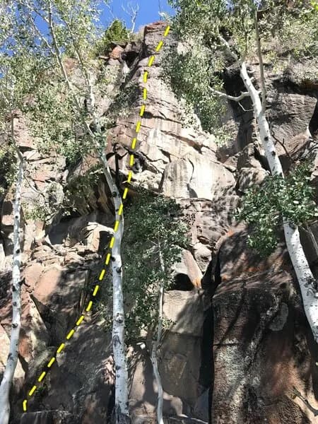
Teenage Angst is a rock climbing area located on Grand Mesa, a high-elevation plateau west of Grand Junction. The site sits at approximately 10,420 feet, with some sources citing an elevation of 6819 feet for specific approach points. The climbing is characterized by hard, volcanic basalt rock. This geology creates steep, featured walls with good quality for climbing, though large buttresses are less common than fractured rock faces. The area offers a moderate difficulty level and supports trad, sport, and top-rope styles. Access is straightforward. Climbers can reach the area by driving east on I-70 to Exit 49 and heading south on CO Highway 65, or by taking US Highway 50 west of Grand Junction to Kannah Creek Road. Parking is available near the climbing zones, and the approach is described as relatively short. The site is open year-round, from January through December. Practical details include pet-friendly policies and nearby parking. The area is part of the Palisade Lobe of Grand Mesa, specifically near Land's End. The rock quality is derived from thick volcanic flow events that deposited basalt layers up to 70 feet thick. While some sources mention a variety of routes, the defining feature is the basalt composition and moderate difficulty. No specific water sources or restrooms are explicitly confirmed in the provided data, though parking is noted.
Trail profile
Gain
—
Avg grade
—
Steepest
—
High point
10,420 ft
Good to know
Parking at the trailhead
Dogs allowed on leash
Waypoints
Latest trail reportgood
Spring climbing conditions. Route may be wet after rainfall. Check weather forecast before climbing.
Reported Mar 3, 2025Verified
What people say
Reviews
No reviews yet
Been here? Help the next person out.
Within 30 miles