Hiking · Ridgway, CO
The Plagueround Trail
Before you go
Live · nearest station Telluride, 17 miStorms build later today. Plan an early finish.
Thunderstorms
Feels like 55°
Trailhead temp
60° est. at 7,221 ft
Storm chance
71% afternoon
Wind
5 mph NNE
UV index
0.1 low
Sun window
6:59 am to 7:06 pm
Distance
2.4mi round trip
Elevation gain
198ft
High point
7,221ft
Season
Jan - Dec
About
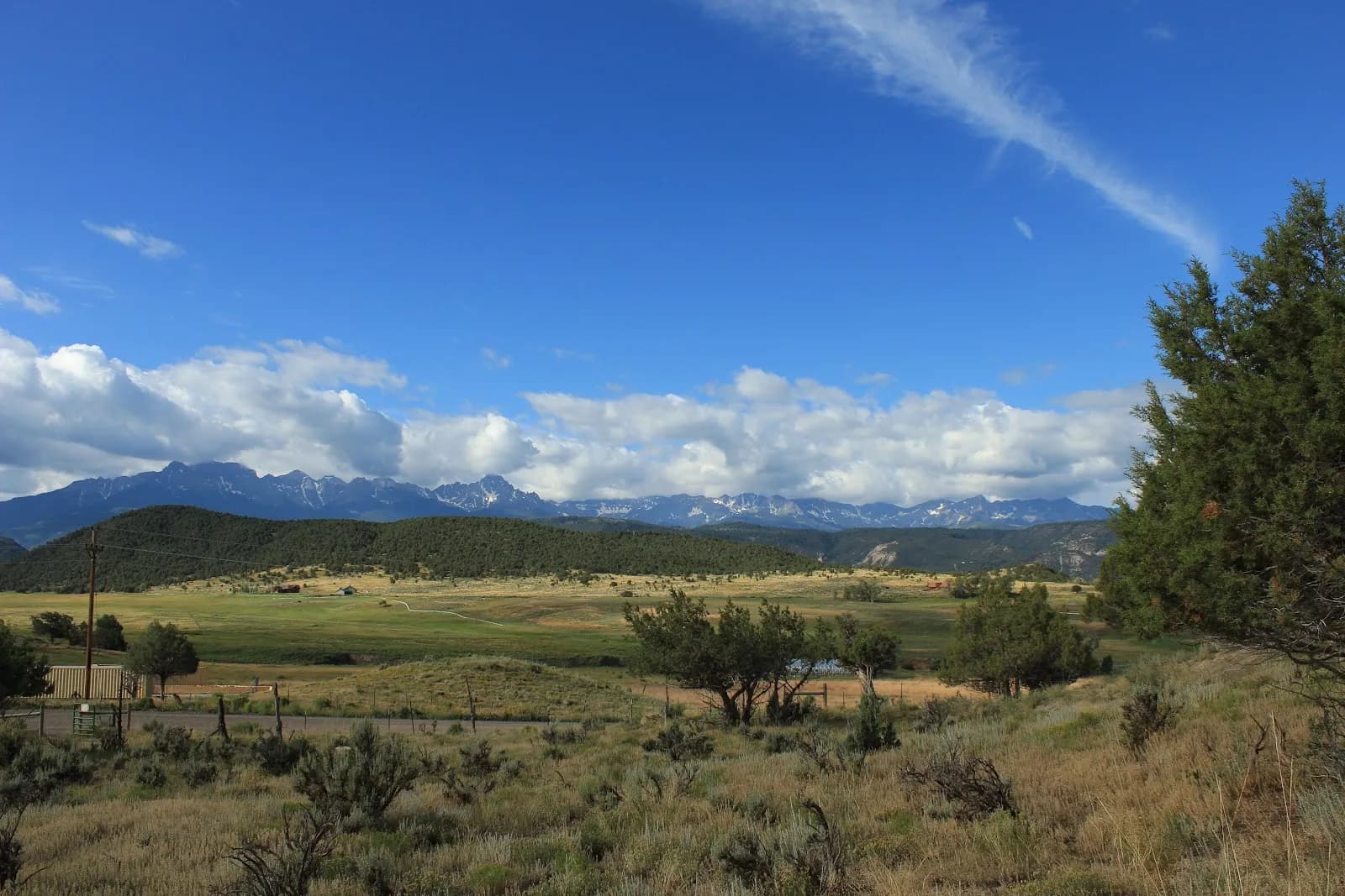
The Plagueround Trail is a 2.4-mile loop located near Ridgway, Colorado, within the Ridgway State Park trail system. Classified as moderate difficulty, the trail sits at an elevation of 7,221 feet. It is described as a bench-cut trail with smooth, rolling terrain that is generally easy to navigate. A key feature is its transition from dense tree cover to exposed areas, offering views of surrounding mountains. The trail connects to the Lower Ratical Trail system; hikers can turn right at the intersection to travel counterclockwise. Parking is available at the trailhead. While often used for hiking, the trail is also utilized for mountain biking. Conditions vary by season, with potential snow and ice in winter months, though it is accessible from January through December. The typical hiking duration is approximately one hour.
Trail profile
Gain
198 ft
Avg grade
2%
Steepest
2%
High point
7,221 ft
Good to know
Parking at the trailhead
Waypoints
Latest trail reportgood
Trail is in good condition. No significant obstacles or hazards reported.
Reported Mar 2, 2025Verified
What people say
Reviews
No reviews yet
Been here? Help the next person out.
Within 30 miles