Hiking · Colorado, CO
Tomboy Road
Before you go
Live · nearest station Telluride, 3 miStorms are likely above treeline tonight. Start early and be off the ridge by midday.
Chance of Rain
Feels like 45°
Trailhead temp
39° est. at 11,064 ft
Storm chance
50% tonight
Wind
5 mph ESE
Distance
—
Elevation gain
—
High point
11,064ft
Season
Jan - Dec
About
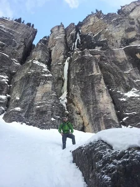
Tomboy Road is a hiking and driving route in the Uncompahgre National Forest near Telluride, leading to the historic Tomboy ghost town. The trailhead sits at approximately 11,064 feet, with the ghost town itself located at 11,509 feet. The route is approximately 4.5 miles long and takes about two hours to hike. It is rated as moderate difficulty. Parking is available at the trailhead. The trail is open year-round, though winter conditions include snow and ice. The area is pet-friendly. The site features remnants of a mining camp, including cabins and mine tailings, offering views of the San Juan Mountains.
Trail profile
Gain
—
Avg grade
—
Steepest
—
High point
11,064 ft
Good to know
Parking at the trailhead
Dogs allowed on leash
Waypoints
No waypoints mapped for this trail yet.
What people say
Reviews
No reviews yet
Been here? Help the next person out.
Within 30 miles