Hiking · Gunnison, CO
Trail 400 (Star Pass)
Before you go
Live · nearest station Gunnison, 2 miStorms build later today. Plan an early finish.
Chance of Rain
Feels like 54°
Storm chance
57% tonight
Wind
5 mph ESE
Distance
5.4mi round trip
Elevation gain
393ft
High point
8,136ft
Season
Jan - Dec
About
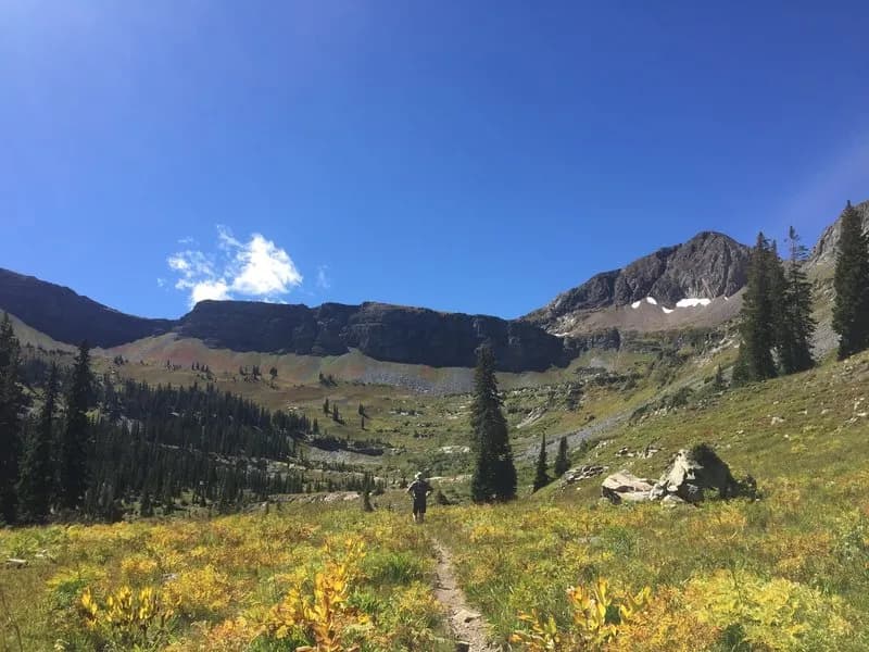
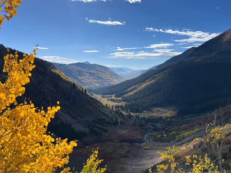
Trail 400, commonly called Star Pass, is a difficult hiking route in the Gunnison area. The trail climbs to a pass topping out at over 12,000 feet. It is accessible year-round. Parking is available at the trailhead. The route offers significant elevation gain and variable trail conditions. Hikers can expect alpine views and wildflowers. The descent into the East Brush Creek drainage is steep and extends for several miles. The trail is often used as an out-and-back or as part of a loop from the Cement Creek side. Starting from the Cement Creek side involves heading up Cement Creek Road and taking a left on Trail 583 to the junction with Trail 400. The US Forest Service notes the trail follows the east branch of Brush Creek.
Trail profile
Gain
393 ft
Avg grade
1%
Steepest
4%
High point
8,136 ft
Good to know
Parking at the trailhead
Waypoints
Latest trail reportgood
Trail is in good condition. No significant obstacles or hazards reported.
Reported Mar 2, 2025Verified
What people say
Reviews
No reviews yet
Been here? Help the next person out.
Within 30 miles