Hiking · Gunnison, CO
Augusta Mountain
Before you go
Live · nearest station Gunnison, 2 miStorms build later today. Plan an early finish.
Chance of Rain
Feels like 52°
Storm chance
56% tonight
Wind
0 mph
Distance
5.6mi round trip
Elevation gain
508ft
High point
8,241ft
Season
Jan - Dec
About
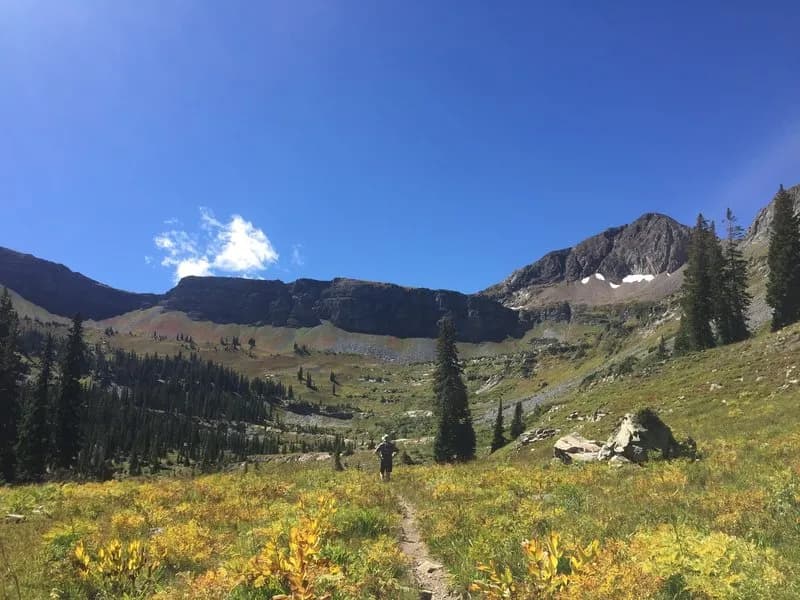
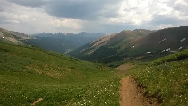
Augusta Mountain is a 12,519-foot peak in Gunnison National Forest, located near Crested Butte and Gunnison. The hike covers 5.6 miles one way, typically taking about three hours to reach the summit. The route begins at the Slate River, crossing into Baxter Basin via an unmaintained mining road. The trail climbs through old mining areas before transitioning to singletrack near a saddle. The final ascent involves a ridge walk and a steep scramble to the summit. The trail is year-round accessible, with parking available at the trailhead. Hikers should expect varying conditions, including potential snow cover in winter and loose scree. The route offers views of Kebler Pass, Marcellina Mountain, and the Maroon Bells. For experienced hikers, a Class 3 ridge descent leads to Mineral Point.
Trail profile
Gain
508 ft
Avg grade
2%
Steepest
5%
High point
8,241 ft
Good to know
Parking at the trailhead
Waypoints
Latest trail reportgood
Trail is in good condition. No significant obstacles or hazards reported.
Reported Mar 2, 2025Verified
What people say
Reviews
No reviews yet
Been here? Help the next person out.
Within 30 miles