Hiking · Gunnison, CO
Blue Lake Out and Back
Before you go
Live · nearest station Gunnison, 2 miStorms build later today. Plan an early finish.
Chance of Rain
Feels like 54°
Storm chance
57% tonight
Wind
5 mph ESE
Distance
13.3mi round trip
Elevation gain
485ft
High point
8,228ft
Season
Jan - Dec
About
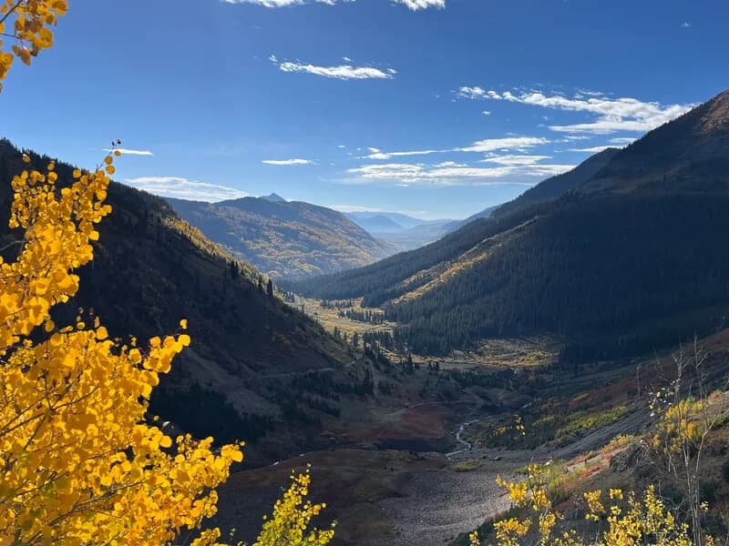
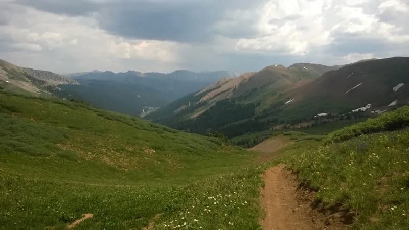
The Blue Lake Out and Back hike is a moderate, 13.3-mile trail located near Crested Butte in Gunnison County, Colorado. The route follows the Oh-Be-Joyful Trail, ascending a glacial valley on the east side of the Ruby Range. The trail begins at the Oh-Be-Joyful Campground, accessible via a 4.5-mile drive north on Gothic Road, then left on Slate River Road, followed by a 0.5-mile drive to the campground. Parking is available at the trailhead, though vehicles with sufficient clearance may cross the river to park on the opposite side, provided water levels are low. The trail gains approximately 3,372 feet in elevation and typically takes about 8 hours to complete. It is accessible year-round, though winter conditions require additional preparation, and the trail is closed during winter months in some contexts due to snow. The upper portion of the valley features lush greenery and wildflowers, with the Ruby Range as a backdrop. Wildlife includes elk, deer, coyote, and various birds. The trail follows an old mining road above Oh Be Joyful Creek, climbing steeply before flattening out near the vantage point above Oh Be Joyful Falls. Hikers cross the wilderness boundary and can navigate around downed trees from avalanches. The trail intersects with the Blue Lake trail, allowing access to Blue Lake, and connects to the Silver Basin Trail for extended loops.
Trail profile
Gain
485 ft
Avg grade
1%
Steepest
2%
High point
8,228 ft
Good to know
Parking at the trailhead
Waypoints
Latest trail reportgood
Trail is in good condition. No significant obstacles or hazards reported.
Reported Mar 2, 2025Verified
What people say
Reviews
No reviews yet
Been here? Help the next person out.
Within 30 miles