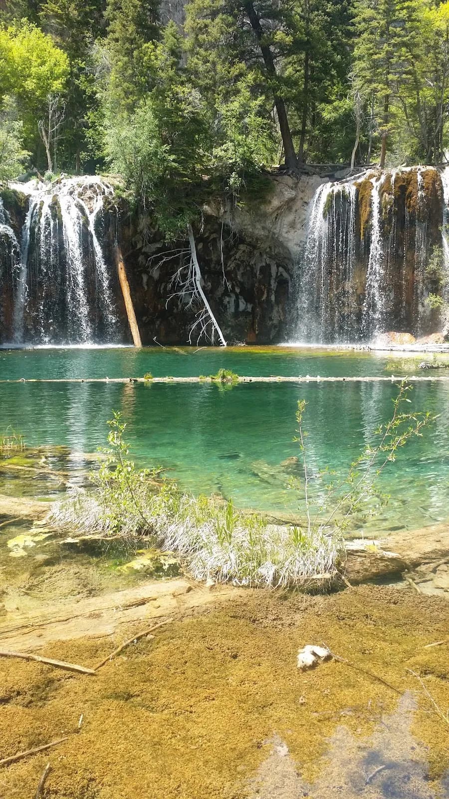
Fall Hiking · Glenwood Springs, CO
Trailhead Boy Scout
Before you go
Live · nearest station Glenwood Springs, 0 miGood window today.
Cloudy
Feels like 59°
Storm chance
13% tonight
Wind
5 mph NE
Roaring Fork at Glenwood Springs is running 434 cfs, water 59°.
Distance
—
Elevation gain
—
High point
5,997ft
Season
Sep - Novin season
About
The Boy Scout Trail is a 3-mile out-and-back route in White River National Forest, starting near Glenwood Springs. The trail climbs 1,200 feet to a viewpoint overlooking the confluence of the Colorado and Roaring Fork rivers. The terrain is steep but short, rated moderate, with a typical duration of 2.5 hours. The trailhead is located at coordinates 39.5419, -107.3177; use these coordinates in navigation apps as the name is shared with other locations. No permit or pass is required for parking, though the lot fills early on summer weekends. The trail is open year-round, though winter hikers should expect traction needs. Dogs are allowed but must be leashed. The route offers views of the Colorado River and canyon walls, passing through oaky underbrush and pine stands.
Trail profile
Gain
—
Avg grade
—
Steepest
—
High point
5,997 ft
Good to know
Parking at the trailhead
Restrooms available
Dogs allowed on leash
Waypoints
No waypoints mapped for this trail yet.
What people say
Reviews
No reviews yet
Been here? Help the next person out.
Within 30 miles
Nearby spots
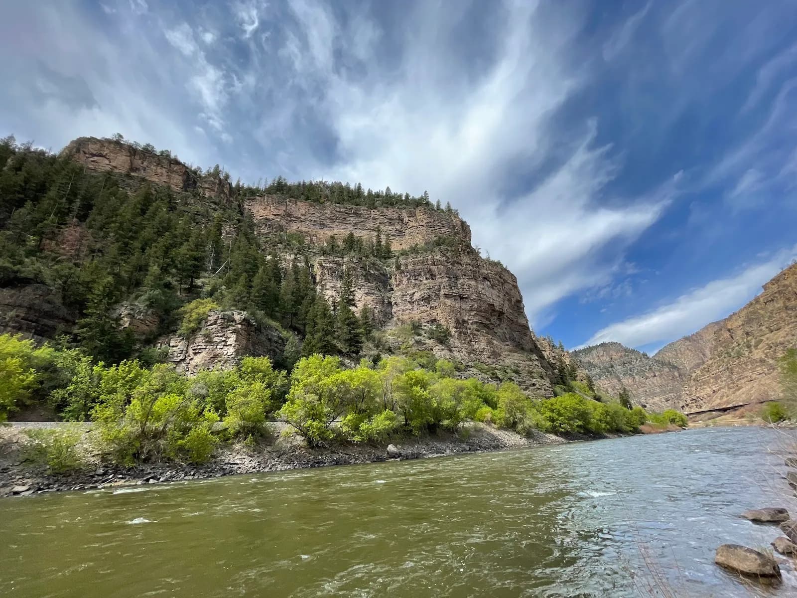
Glenwood Canyon
Yampah Spa & Vapor Caves