Hiking · Grand Junction, CO
Upper Liberty Cap Trail
Before you go
Live · nearest station Grand Junction, 0 miGood window today.
Mostly Cloudy
Feels like 60°
Storm chance
2% overnight
Wind
0 mph
Gunnison River near Grand Junction is running 1,180 cfs and falling, water 63°.
Distance
5.1mi round trip
Elevation gain
164ft
High point
4,731ft
Season
Jan - Dec
About
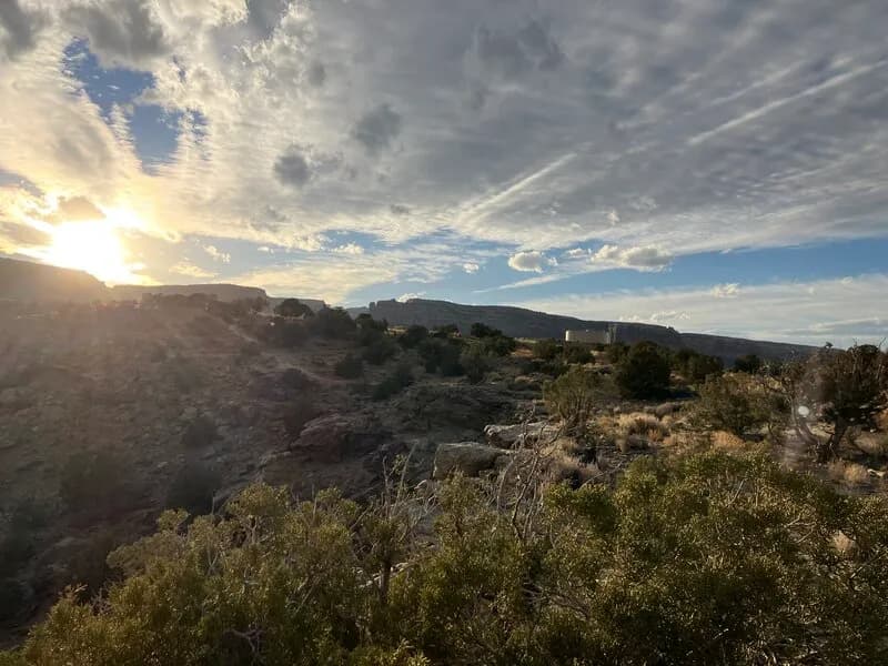
The Upper Liberty Cap Trail is a moderate 5.1-mile hiking route located in Colorado National Monument near Grand Junction, Western Slope. It begins at an elevation of 4,593 feet and typically takes about three hours to complete. The trailhead offers parking and is accessible year-round, though winter conditions may require preparation. Hikers can access the trail from two points: the Wildwood Trailhead on the east side or the upper trailhead off Rimrock Drive. The route travels across Monument Mesa, featuring an abandoned jeep road that winds through pinyon-juniper forest and sagebrush flats. The trail ascends steeply for the first two miles from the valley floor before leveling out on the mesa. Views include Independence Rock and the broader Colorado National Monument landscape. The trail surface is generally gentle and smooth, with some steeper sections of bentonite clay that can become muddy when wet. Wildlife sightings include rattlesnakes, rabbits, quail, and coyotes. An unmarked junction about 3.5 miles from the upper parking lot leads to Otto's Bathtub. Horseback riding is permitted along the upper five miles of the trail.
Trail profile
Gain
164 ft
Avg grade
1%
Steepest
2%
High point
4,731 ft
Good to know
Parking at the trailhead
Waypoints
Latest trail reportgood
Trail is in good condition. No significant obstacles or hazards reported.
Reported Mar 2, 2025Verified
What people say
Reviews
No reviews yet
Been here? Help the next person out.
Within 30 miles
Nearby spots