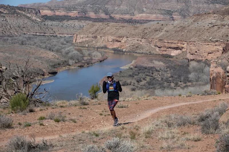
Hiking · Fruita, CO
Upper Rattlesnake Arches Trail
Before you go
Live · nearest station Grand Junction, 12 miGood window today.
Mostly Cloudy
Feels like 66°
Storm chance
5% tonight
Wind
5 mph E
Distance
1.55mi round trip
Elevation gain
10ft
High point
4,524ft
Season
Jan - Dec
About
The Upper Rattlesnake Arches Trail is a moderate hiking route located in Fruita, Colorado, within the McInnis Canyons National Conservation Area. The trail spans 1.55 miles with an elevation gain of approximately 1,786 feet, reaching a high point of 4,512 feet. Hikers typically complete the route in about one hour. The path features a steep climb to access a series of natural rock arches formed in Entrada sandstone. The terrain is described as rocky and uneven, with sections requiring scrambling over boulders or steep chopped steps rated Class 3 to 4. The trail is accessible year-round, though hikers should prepare for snow and ice between January and March. Parking is available at the trailhead. The area supports high-desert vegetation including piñon pines, junipers, sagebrush, cacti, and yucca. Wildlife sightings may include mule deer, coyotes, bighorn sheep, foxes, rabbits, lizards, and rattlesnakes. The trail is part of a larger network that includes the Rattlesnake Arches and Pollock Bench Trail, with options to scramble through an arch or continue on a doubletrack trail.
Trail profile
Gain
10 ft
Avg grade
0%
Steepest
0%
High point
4,524 ft
Good to know
Parking at the trailhead
Waypoints
Latest trail reportgood
Trail is in good condition. No significant obstacles or hazards reported.
Reported Mar 2, 2025Verified
What people say
Reviews
No reviews yet
Been here? Help the next person out.
Within 30 miles