Hiking · Larimer, CO
Ute Trail
Before you go
Live · nearest station Steamboat Springs, 60 miGood window today.
Mostly Cloudy
Feels like 55°
Storm chance
8% tonight
Wind
5 mph ENE
Distance
0.9mi round trip
Elevation gain
3,517ft
High point
11,463ft
Season
Jan - Dec
About
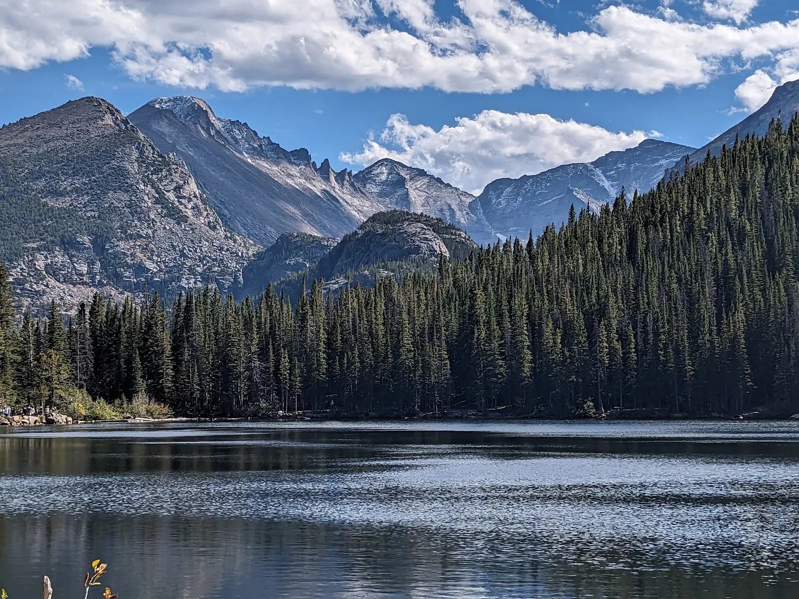
The Ute Trail in Larimer County, Colorado, offers hiking access near Estes Park and the Gunnison Gorge area. Evidence points to two distinct trail segments or naming conventions. One segment, associated with the Gunnison Gorge Wilderness and Delta, begins on a ridge overlooking the area, with the trail descending over 1,200 feet to the Gunnison River. This section is described as a singletrack blue difficulty trail, approximately 2,221 feet long, with moderate physical rating. Another segment starts in Estes Park, graded as extra difficult or medium depending on the source, spanning 20.1 km with significant elevation gain. A third data point suggests a shorter 0.9-mile moderate route near Beaver Meadows and Ute Crossing. Hikers should verify the specific location, as names overlap. The trail is generally pet-friendly and allows parking. Conditions vary by season, with snow possible from January to early spring. The trail is suitable for families and those adjusting to high altitudes, offering scenic views.
Trail profile
Gain
3,517 ft
Avg grade
74%
Steepest
1%
High point
11,463 ft
Good to know
Parking at the trailhead
Dogs allowed on leash
Waypoints
Latest trail reportgood
Trail is in good condition. No significant obstacles or hazards reported.
Reported Mar 2, 2025Verified
What people say
Reviews
No reviews yet
Been here? Help the next person out.
Within 30 miles