Mountain Biking · Grand Junction, CO
Windmill Trail
Before you go
Live · nearest station Grand Junction, 0 miGood window today.
Mostly Cloudy
Feels like 58°
Storm chance
2% overnight
Wind
0 mph
Gunnison River near Grand Junction is running 1,240 cfs and rising, water 63°.
Distance
—
Elevation gain
—
High point
4,593ft
Season
Apr - Octpeak now
About
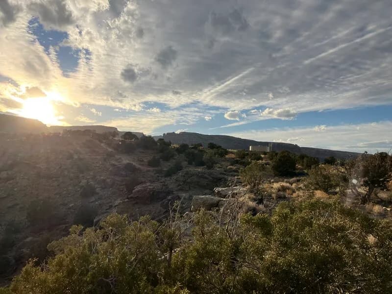
The Windmill Trail is a challenging mountain biking route located in Grand Junction, Colorado, near the Bang's Canyon Recreation Area. The trail offers a mix of terrain including steep inclines and technical sections, with an elevation of 4,591 feet. It is typically accessible from April through October. Riders can access the trail via Windmill Road, starting near the Bang's Canyon Trailhead. The singletrack runs parallel to Windmill Road and connects with other local trails such as Tabeguache, Butterknife, and Art Cook's View. The trail is pet friendly and has parking available at the trailhead.
Trail profile
Gain
—
Avg grade
—
Steepest
—
High point
4,593 ft
Good to know
Parking at the trailhead
Dogs allowed on leash
Waypoints
Latest trail reportgood
Trail is in good condition. Traction is good with minimal obstacles.
Reported Mar 2, 2025Verified
What people say
Reviews
No reviews yet
Been here? Help the next person out.
Within 30 miles
Nearby spots