Hiking · Fruita, CO
Wrangler Loop
Before you go
Live · nearest station Grand Junction, 12 miGood window today.
Mostly Cloudy
Feels like 62°
Storm chance
2% tonight
Wind
0 mph
Distance
2.3mi round trip
Elevation gain
346ft
High point
4,931ft
Season
Jan - Dec
About
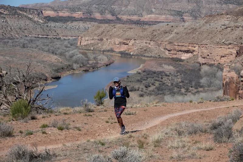
The Wrangler Loop is a 2.3 to 2.4-mile hiking trail in Fruita, Colorado, situated within the McInnis Canyons National Conservation Area. The trail offers a moderate difficulty level with an elevation gain of approximately 268 to 289 feet, starting from an elevation near 4,931 feet. Hikers typically complete the loop in about one hour to an hour and 18 minutes. The route is open year-round, allowing for hiking, mountain biking, and dog walking. Parking is available at the trailhead. The terrain includes smooth sections and old doubletrack roads, with potential for sand and rocky surfaces. The trail is managed by the BLM Grand Junction Field Office.
Trail profile
Gain
346 ft
Avg grade
3%
Steepest
3%
High point
4,931 ft
Good to know
Parking at the trailhead
Waypoints
Latest trail reportgood
Trail is in good condition. No significant obstacles or hazards reported.
Reported Mar 2, 2025Verified
What people say
Reviews
No reviews yet
Been here? Help the next person out.
Within 30 miles