Hiking · Fruita, CO
Zippity Do Da
Before you go
Live · nearest station Grand Junction, 12 miGood window today.
Mostly Cloudy
Feels like 62°
Storm chance
2% tonight
Wind
0 mph
Distance
2.4mi round trip
Elevation gain
562ft
High point
5,086ft
Season
Jan - Dec
About
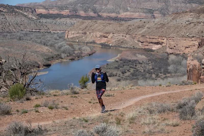
Zippity Do Da is a difficult hiking and mountain biking trail located on 18 Road in Fruita, Colorado. The trail is part of the 18 Road trail network and is managed by the BLM Grand Junction Field Office. It is a point-to-point route that typically connects with the Zippity Loop. The trailhead is situated at coordinates 39.33564, -108.71383. The route features a ridge section that begins with a short climb before descending into significant rollers and steep hills. The descents are described as smooth, while the climbs involve short, repeated ascents. The trail allows hiking, biking, dogs, and horses, but does not allow motorcycles. It is open year-round. The total length varies by source, with some citing 2.4 miles and others noting a total length of 3.7 miles for the broader trail system including segments #209M, #209N, and #209L. The elevation ranges from approximately 5,007 feet to 5,490 feet. Parking is available at the trailhead.
Trail profile
Gain
562 ft
Avg grade
4%
Steepest
4%
High point
5,086 ft
Good to know
Parking at the trailhead
Waypoints
Latest trail reportgood
Trail is in good condition. No significant obstacles or hazards reported.
Reported Mar 2, 2025Verified
What people say
Reviews
No reviews yet
Been here? Help the next person out.
Within 30 miles