Colorado Snowpack Recovers to Average After Record Low
Colorado's snowpack has recovered to average levels after a record-low slump, though northern regions remain dry. Meteorologists predict above-normal precipitation late November, boosting winter prospects.
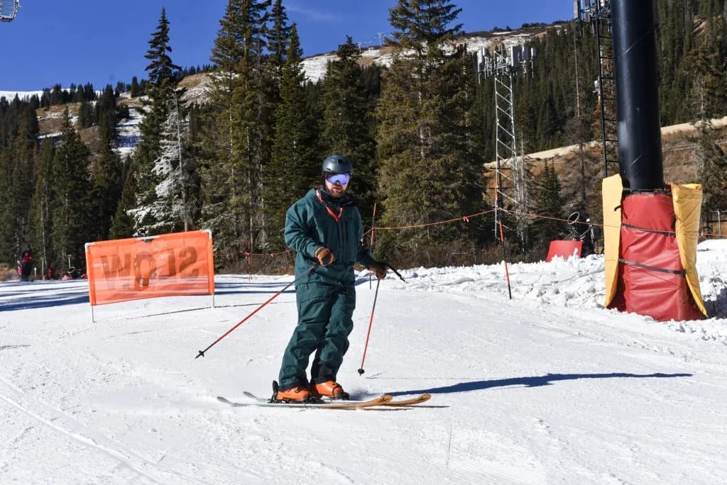
Aspen —The dry spell isn’t a drought. It’s just November being November.
Make no mistake: the sun is out, and it’s warm. Mountain towns like Vail and Aspen are seeing highs in the mid-50s, with Thursday and Friday pushing toward 60 degrees. Glenwood Springs is sitting in the low- to mid-60s. If you’re used to gray skies and slush by the second week of November, this feels like a mistake. It isn’t.
Kris Sanders, a Grand Junction meteorologist with the National Weather Service, called it out in a report for the Vail Daily. “Through November, you can have wet periods and you can have dry periods, so I wouldn’t say this is out of the ordinary,” Sanders said.
The break from precipitation lasts through Friday, Nov. 13. Then the weather shifts. A low chance of moisture arrives Saturday, Nov. 14. The odds climb significantly from Nov. 18 to Nov. 21. If that precipitation hits, Colorado lands above normal for the month.
Read that again. Above normal. Not “possible.” Not “maybe.” The Climate Prediction Center’s 8-14-day outlook gives the state a roughly 60% chance of receiving above-average precipitation through mid-month. Temperatures will likely run slightly above average, too.
The real story isn’t the sun. It’s the snowpack.
According to U.S. Department of Agriculture data, Colorado’s snowpack is right around average for this time of year. In western Colorado, it sits at 99% of normal as of Nov. 9. That is a massive improvement from last year. In November 2025, the western region sat at 25% of normal. We were in a record-low snowfall slump. This year, we are cruising past those figures.
But the map is uneven. Southern Colorado’s snowpack is well above average. The northern peaks tell a different story. Some sub-basins north of I-70 are closer to 25% of median snow water equivalent. Recent storms targeted the southwestern corner, leaving the north dry.
“A lot of the basins north of I-70 are actually fairly low,” Sanders said.
That gap matters for locals. If you live in the Roaring Fork Valley or near Steamboat Springs, your water supply and ski season start differently than they do for folks in the San Luis Valley. The statewide average masks local realities.
Saturday night brings a chance of rain and snow showers to some northern and central-mountain towns, including Vail, Breckenridge, Aspen, and Steamboat Springs. The National Weather Service expects those showers to be brief. Most areas return to sunny skies on Sunday, Nov. 15.
The bigger storm system arrives later in the week. An OpenSnow report noted that Saturday’s front has a low chance of treading high enough north to bring flakes to the northern ranges. The higher probability window is Nov. 18-21. That’s when the real accumulation happens, if it happens at all.
For now, enjoy the 60-degree days. The dry spell is temporary. The snowpack is healthy enough to buffer a few more weeks of sun. But the northern mountains are still playing catch-up, and that lag will define the winter ahead for anyone relying on local snowmelt or ski lifts.
The weather service expects precipitation chances to increase starting this weekend and going into next week. If we get that precipitation, it puts us above normal for the month.
The sun is a lie. The snowpack is real.
Keep up with Aspen
The day's Western Slope news, one email each morning. Free.