El Niño Brings Early Snow to Aspen and Steamboat
A strong storm system is dropping early snow on Western Slope resorts, with NWS meteorologists confirming wetter conditions and colder temperatures for the upcoming weekend.
Aspen —The wind picks up in the parking lot at 9 a.m., kicking loose leaves against the tires of parked SUVs. It’s not snow yet, but the air smells like it. That metallic, cold scent that tells you the temperature has finally broken below freezing at altitude.
Kate Abbott, a meteorologist with the National Weather Service, knows that smell better than most. She’s been watching the data for weeks, tracking a shift in the atmosphere that is rewriting the early winter script. "I guarantee we’re definitely wetter," Abbott said, referring to this October compared to the same month in 2025. It’s a dry statement, but it carries weight for anyone who spent last year shovling mud instead of snow.
This October has been "wetter and snowier" across the Western Slope, according to Abbott. In some mountain areas that saw zero accumulation last year, snow is already piling up on the ground. The pattern fits a long-term El Niño forecast, which predicts heavier snowfall during the first and last months of the season. There’s a lull expected in December and January, but right now? The moisture is coming.
The storm system arriving this week mirrors last week’s, with the strongest precipitation totals concentrated in the southwestern mountains. A stormy pattern over the southwestern U.S. is pushing moisture north into Colorado, and it’s not letting up. "A lot of our precipitation this year has been a lot heavier in southwest Colorado, up to about I-70 or so," Abbott noted. Towns north of that line have seen less rain, but they did receive a significant push of snow that is trending higher than last October.
The timeline matters for commuters and drivers on I-70 and US 6. Monday and Tuesday brought rain showers with highs in the mid-50s and 60s. Wednesday is the warmest day, yet it carries a stronger precipitation signal. Some snow is possible above 12,000 feet from Wednesday night into Thursday. Then comes the shift.
Friday marks the turn as a push of cold air brings temperatures 5 to 10 degrees below normal. Snow lines drop closer to 10,000 feet. By Friday night and into the weekend, ski resorts in Breckenridge, Vail, Aspen, and Steamboat Springs are forecast to receive a mix of rain and snow. The storm weakens slightly by Saturday, bringing partly sunny skies, but snow showers remain possible in higher elevation towns.
Total accumulation through Sunday night is expected to be between 1 and 4 inches for Western Slope resorts. That’s not a season-ending dump, but it’s enough to change the texture of the week. It means icy patches on mountain roads. It means skiers might get a short, early taste of the slope before the mid-season lull hits.
Abbott points out that while northern mountains saw a brief warm spell earlier in the week, the cold air is holding. The part everyone skips past is the transition: rain turning to snow as temperatures dip just enough to change everything. And that matters because it dictates whether you need chains on your truck or just a good wiper blade.
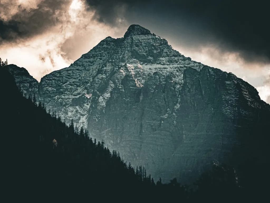
As the weekend approaches, the sky over the valley stays gray and heavy. The snow isn’t falling in sheets yet, but it’s there, a thin layer on the highest peaks. It’s quiet, persistent, and enough to remind everyone that winter is no longer a forecast. It’s on the ground.
Keep up with Aspen
The day's Western Slope news, one email each morning. Free.