Monsoonal Rain Breaks Colorado High Country Heat Wave
Monsoonal moisture breaks an unseasonable heat wave across Colorado’s High Country, bringing cooler temperatures, clearing smoke, and increased rain chances to Vail, Aspen, and Glenwood Springs.
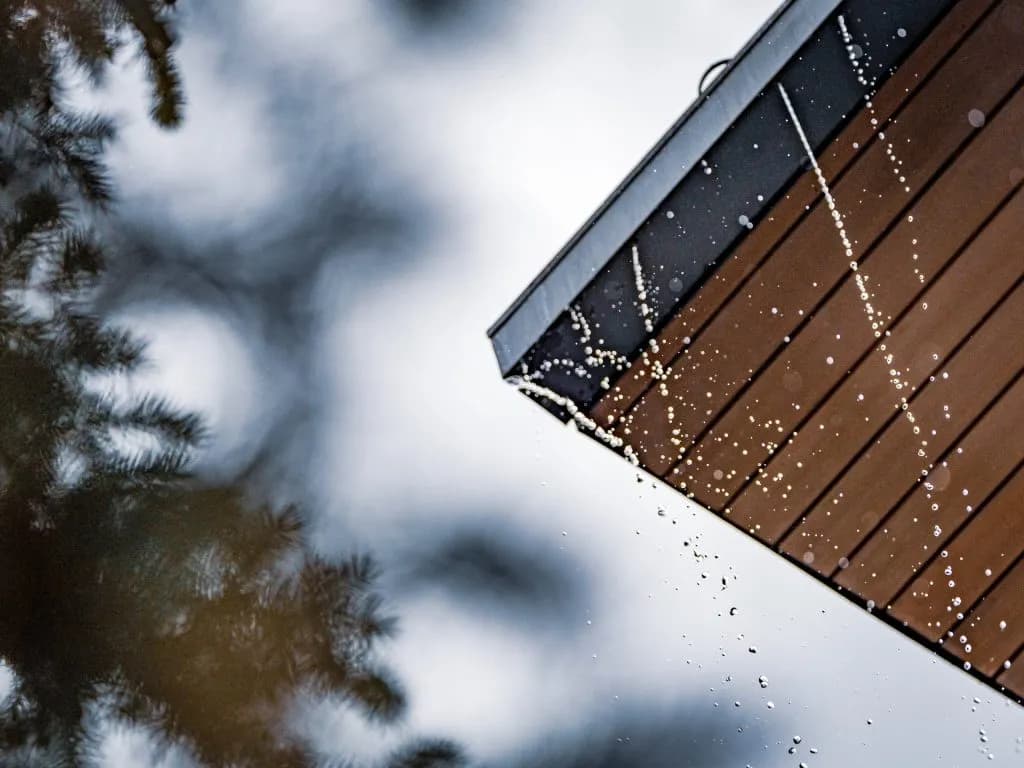
Steamboat Springs —Is your morning commute going to be a haze of smoke or a clear drive to work?
The answer is shifting. Fast.
Colorado’s High Country is trading an unseasonably hot, hazy August for monsoonal rain. The heat wave that baked the Western Slope from Friday through Sunday is breaking. Monsoonal moisture is taking over.
National Weather Service Meteorologist David Byers says the state ran about 10 degrees above normal this past weekend. Some spots in Garfield, Eagle, and Grand counties hit near 100 degrees. Vail stayed cooler, thanks to elevation. But the lower valley floors took the brunt of it.
Now, the forecast flips. Showers and thunderstorms are heading for the mountains. This isn't just a weather change. It’s a fire management gamble.
Cooler temps and higher humidity should temporarily weaken fire danger. But the rain won’t be a simple fix. OpenSnow Meteorologist Alan Smith warns of "hit or miss rainfall, lighting and gusty outflow winds." Dry thunderstorms will be the real headache. Moisture stays high up in the clouds. It doesn’t always hit the ground.
“The rains will definitely put a damper on the fires, and the rains also tend to clear out the air,” Byers said.
There’s a catch. Burned ground turns hydrophobic. It repels water. When heavy rain hits those areas, flash flooding becomes a critical threat.
The immediate outlook? Monday and Tuesday are mild. Mostly sunny skies. Temperatures in the 80s and 90s. A slight chance of showers. You can breathe a little easier, but the haze lingers.
The real action starts Wednesday. Precipitation chances jump. Forecasts show a 40% chance in Glenwood Springs. Vail sees 80% after noon. Cloud cover will drop temperatures slightly.
Thursday looks wetter. Rain chances hit 60% in Glenwood and 90% in Vail and Aspen. On-and-off precipitation is expected to last through Saturday. Nights will cool down, too. Lows will drop from the 60s on Monday to the 40s by the weekend.
Smoke is the other variable. Upper-level winds are pushing the heaviest smoke north. Afternoon showers should scrub the air clean across Western Colorado. The Colorado Department of Public Health & Environment notes this trend. Far west-central counties might still see heavier smoke from upwind fires. But the trend is toward clearer skies.
This isn't a permanent fix. Fire danger remains volatile. The rain is intermittent. The lightning is real. The wind is gusty.
Locals need to watch the sky, not just the thermometer. A dry thunderstorm can spark a new fire while you’re sleeping. A heavy downpour can wash out a road in minutes.
The heat is gone. The rain is coming. The risk just changed shape.
Keep up with Steamboat Springs
The day's Western Slope news, one email each morning. Free.
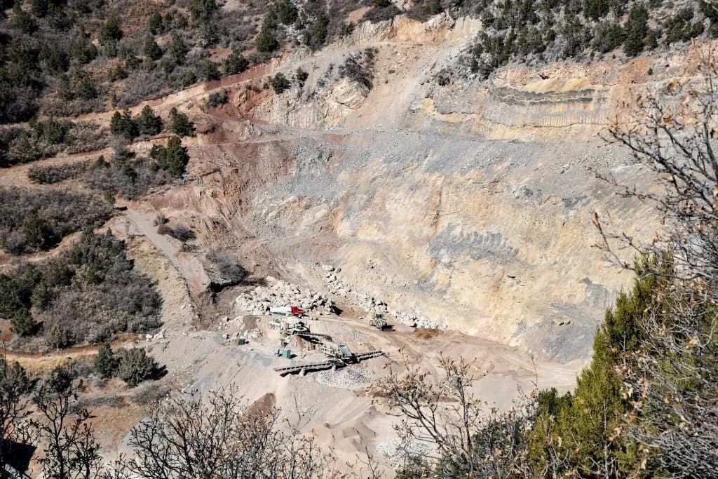
Bennet and Hurd Introduce Bipartisan Bill to Block Mid-Continent Quarry Expansion
Garfield County Commissioners Kill 5,908-Acre Spring Valley Development Plan
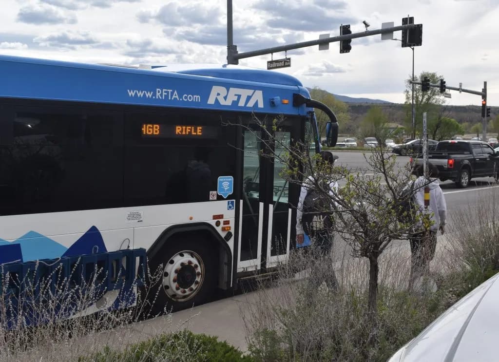
RFTA Board Approves Three-Year Plan to Save Hogback Bus Route
Memorial Regional Health Adds Two Doctors to Craig Primary Care Team

Moffat County Schools Serve 432,067 Meals in Universal Free Program