Pitkin County Weighs Prince Creek Road Widening to Boost Cyclist Safety
Pitkin County commissioners review traffic data showing fast cars and few bikes on narrow Prince Creek Road, prompting discussions to widen the corridor and improve cyclist safety.
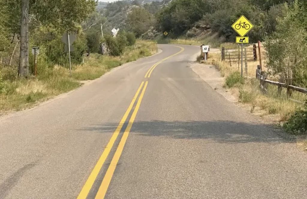
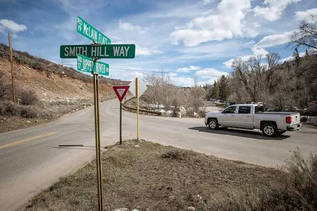
Gunnison —Pitkin County commissioners are weighing safety interventions for Prince Creek Road after traffic data revealed a widening gap between vehicle speeds and cyclist comfort. The road, a narrow corridor connecting State Highway 133 to the Crown, is seeing more conflicts as mountain biking popularity surges and general vehicle speeds creep upward.
Commissioner Francie Jacober and the Crystal River Caucus are driving the push for changes. Jacober lives in the area. She knows the road.
The problem isn't just volume. It’s geometry. And it’s a border dispute of sorts.
Prince Creek Road is jointly managed by Pitkin and Garfield counties. Garfield finished its segment. They widened the road. It sits about 23 to 24 feet wide.
Pitkin County’s segment? It’s stuck at 18 to 21 feet.
County Engineer Andrew Knapp noted the "dramatic change of condition" when drivers cross the county line. He didn’t mince words about the disparity.
"It is definitely noticeable," Knapp told commissioners Tuesday. "And as someone responsible for managing the county roadwork, I can’t say it makes me feel good to have the Garfield County road look better and at least appear to be somewhat safer for cyclists."
The narrow width isn't new. The road has always been tight. But the usage has shifted.
The parking area known as the Bullpen was built in 2018. It was a response to parking conflicts caused by the boom in mountain biking on the Bureau of Land Management trail system on the Crown. A new single-track trail connected the Bullpen to the Crown trails. The county partnered with the Roaring Fork Mountain Biking Association on a "Town to Crown" initiative. The goal: encourage riders to bike from Carbondale to the Crown instead of driving.
That initiative worked too well. Bicycle prevalence in the area skyrocketed.
Recent traffic counts paint a specific picture. Public Works collected data near the "Flying Dog" corner between May 27 and July 1.
The numbers are stark. Approximately 615 vehicles pass through that stretch daily. Only 3.5 percent are bikes. Eighty-three percent are cars.
But the cars are moving fast. The average speed is 27 mph. The 85th percentile speed hits 32 mph. The posted limit is 35 mph. Cyclists average 18 mph.
That speed differential creates the conflict. A car doing 35 mph has little time to react to a cyclist doing 18 mph on an 18-foot-wide road with no shoulder.
Knapp did offer one caveat. The speed data at that specific count location is influenced by the geometry of the Flying Dog Ranch corner. Drivers slow down for the turn. They speed up after. It’s not a perfect representation of the entire road’s speed profile. But it highlights the immediate danger zone near a known traffic anchor.
The report submitted to commissioners notes "increasing conflicts and close calls." It doesn't quantify them. It doesn't list a number of accidents. It just says they are happening.
The road serves residential traffic. It provides access to the National Forest. It handles ranch traffic and livestock. It carries cyclists.
All of it is squeezed into a corridor that hasn't seen a major widening since before the current bike boom.
Garfield County widened theirs. Pitkin County is still looking at interventions. The short version: the road is too narrow for the mix of users, and the cars are going too fast for the space available.
Commissioners will decide what to do next. Widening the Pitkin County segment to match Garfield’s width is the obvious fix. But that costs money. It takes time. And it requires a decision to prioritize cyclist safety over the status quo.
The data is there. The disparity is visible. The question is whether the county will act before a close call becomes a collision.
Keep up with Gunnison
The day's Western Slope news, one email each morning. Free.