Western Slope Memorial Day Weather Brings Heat and Fire Risk
Memorial Day weekend on the Western Slope tracks 10 degrees above normal, bringing heat, wind gusts, and elevated fire risk to towns like Glenwood Springs and Aspen.

Aspen —The coffee in your mug is still hot, but the wind off the ridge is already picking up, carrying that dry, dusty smell of early summer. It’s a specific kind of breeze on the Western Slope — one that promises warmth but warns of what’s coming next. You might be planning a hike up to Independence Pass or just trying to get the kids through the morning rush on I-70 without a meltdown. Either way, the sky is already changing.
Memorial Day weekend is shaping up to be a study in contrasts for folks across the mountains. Following a wet start to the week, the forecast calls for a mix of sun, showers, and thunderstorms that will test the patience of anyone hoping for a perfect, dry holiday weekend. It’s not exactly a disaster, but it’s not the lazy, golden-weekend many of us were hoping for.
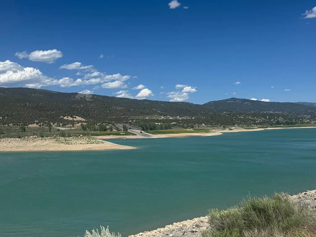
Here’s the thing though: the weather is already behaving unusually. Kris Sanders, a meteorologist with the National Weather Service, notes that this Memorial Day weekend is tracking roughly 10 degrees above normal for the Western Slope. That’s not just a mild spring; that’s a heatwave in the making. Higher-elevation towns like Vail and Breckenridge will stay in the 50s, keeping the snowpack intact a little longer, while lower valleys like Steamboat Springs, Glenwood Springs, and Aspen will sit comfortably in the 60s. And if you’re hanging out in Glenwood Springs, you might actually see temperatures hit the mid-80s.
Friday is the pivot point. It starts cool but gets progressively warmer as the day wears on. The clouds will thicken, too, culminating in rain showers through the night. In the higher elevations, those showers could flip into snow after midnight. It’s a classic mountain transition — wet, cold, and unpredictable. But don’t pack away the flannel just yet.
Saturday and Sunday look better. Mostly sunny skies return, with temperatures climbing into the 60s and 70s. The wind, however, is the real story here. Sanders points out that Friday and Saturday afternoons could see gusts around 25 to 30 miles per hour. That matters because those gusts, combined with the warmth, drive up fire risk. Drought conditions across parts of western Colorado are still sitting at the highest intensity level as of May 21. That’s not a minor detail. It means county-level fire restrictions could be in play, and if you’re lighting a campfire or grilling in the backcountry, you need to check the fine print.
“Friday and Saturday are pretty similar, where we could see those wind gusts around 25 to 30 (miles per hour) in the afternoon, but once we get to Sunday and Monday, those are much lower,” Sanders said.
By Monday, the heat settles in, with temperatures reaching the mid-70s for most of the slope. But the reprieve is short-lived. A storm system moving in from the west will disrupt the pattern. “Once we get into Monday, we actually have a storm system coming out of the West, so that’s going to help develop those showers and maybe some storms,” Sanders said. He warned that this system could impact outdoor events and other things going on, so that’s something to keep an eye on for the forecast. Temperatures will cool down … after the holiday.
Picture this: You’re sitting on your deck in Carbondale or Rifle, watching the clouds roll in from the west on Monday afternoon. The air feels heavy, charged with the promise of rain. You’re glad you didn’t plan that big BBQ for Tuesday. The drought is still there, lurking under the surface, waiting for the next dry spell to tighten its grip. The sun will break through again, eventually, but for now, the mountain is holding its breath.
Keep up with Aspen
The day's Western Slope news, one email each morning. Free.