Western Slope Storm Brings Six Inches Snow To Aspen
A slow-moving storm system hits the Western Slope Saturday, dropping snow levels to 8,500 feet by Wednesday. Resorts like Aspen face up to six inches of snow, potentially triggering early ski season starts.
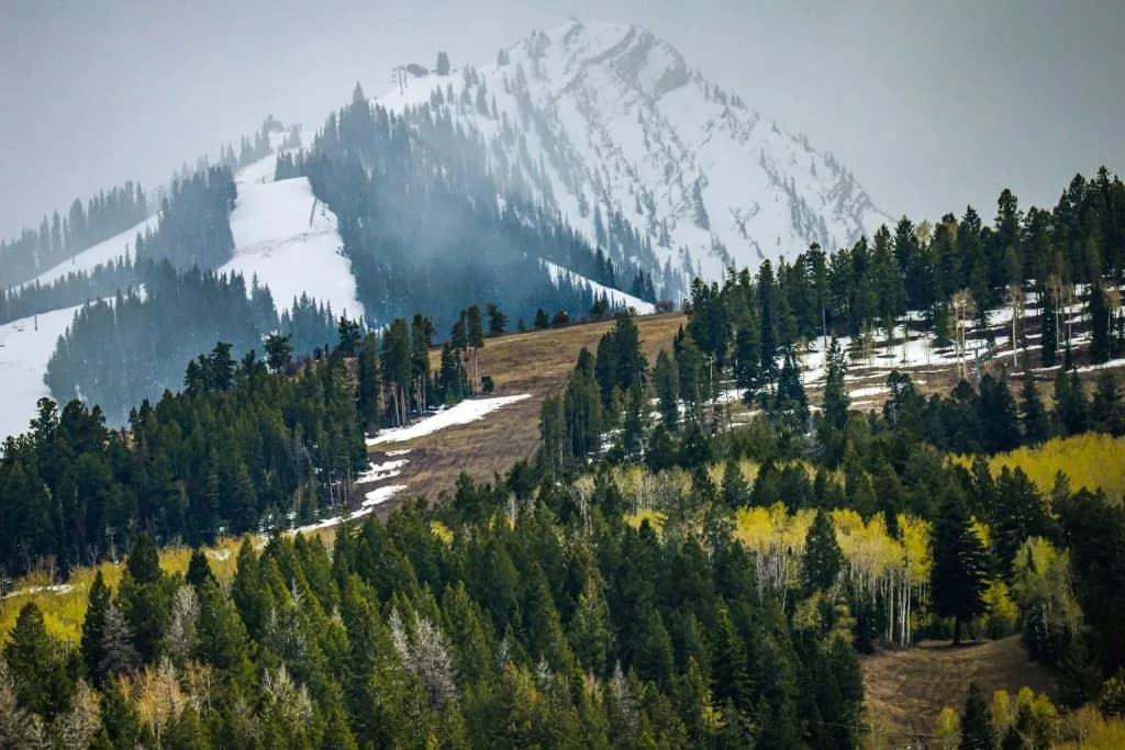
Aspen —The air on the mountain has been thick with a deceptive kind of warmth this week, that golden-hour glow hanging low over the peaks while the valleys baked in unseasonable sun. It’s easy to forget that October is here, that the alpine tundra has already thrown in its first hard frost. But the forecast suggests we’re about to lose that illusion entirely. The obvious take on this weekend’s weather is a shrug: another late-fall squall, a brief interruption to the harvest season that will wash out by Monday. If you look closely at the data, though, this isn’t just a passing shower. It’s a pivot point.
Vail Daily reports that meteorologists are tracking a slow-moving storm system expected to hit the Western Slope on Saturday, Oct. 10. For folks in Vail, Steamboat Springs, and Rifle, the afternoon will bring a moderate chance of rain and thunderstorms, with winds gusting up to 25 miles per hour. The temperature drop is sharp — highs will slide from the warmth of this week into the low- to mid-60s, a 10-degree plunge that you can feel in your bones by the time you’re closing up shop.
But here is where the story gets interesting, and where the "light dusting" narrative falls apart. National Weather Service Meteorologist Kris Sanders notes that while Saturday and Sunday might only bring high-elevation snow to peaks, the real action is delayed. Because the storm’s energy is anchored in southwest Colorado, the cooling effect lingers. By Wednesday, Oct. 14, the snow level is forecast to dip from around 12,000 feet down to 10,000 feet. On Wednesday night, that line could drop as low as 8,500 feet.
That elevation matters. It means that towns like Aspen, Breckenridge, and Vail aren’t just looking at a sprinkle on the summit; they’re facing consistent precipitation that could actually stick to the slopes. OpenSnow Founding Meteorologist Joel Gratz points out that while some mountains might see an inch of snow in the days after Oct. 15, others could accumulate closer to six inches. That is not a dusting. That is a base.
This timing hits at a critical moment for the ski industry. Several resorts, including Arapahoe Basin, Winter Park Resort, and Keystone Resort, have announced October openings, though their actual start dates hinge on snowmaking conditions. Sanders offered a dry assessment of the industry’s optimism: “Some want to do the end of the month. Good luck.” He added that this storm could be the catalyst, noting, “We’ll see what we get out of this; it could get the races going.”
If you’ve been waiting for a sign that autumn is officially handing over to winter, this is it. The sunny days are done. The storm will bring a mix of rain and snow, with thunderstorms possible after noon on Sunday before the system fully settles. By next week, the valley floor might look wet and gray, but the peaks will be white.
The wind will howl through the pines on Saturday night, carrying a chill that feels different than the dry cold of early fall. It’s damp, heavy, and persistent. When you step outside on Wednesday morning, the air will taste of ice, and the silence of a fresh snowfall will replace the usual rustle of dry leaves.
Keep up with Aspen
The day's Western Slope news, one email each morning. Free.