Fall Hiking · Gunnison, CO
Beaver Ponds Trailhead
Before you go
Live · nearest station Gunnison, 20 miGood window today.
Partly Cloudy
Feels like 40°
Storm chance
2% overnight
Wind
0 mph
Distance
—
Elevation gain
—
High point
9,316ft
Season
Sep - Novin season
About
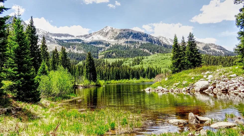
Beaver Ponds Trailhead in Gunnison, Colorado, serves as the starting point for Beaver Pond Trail #516. The trail climbs gently through dense aspen stands to reach a series of ponds created by beaver dams. This route is classified as moderate and typically takes about two hours to complete. The area supports wildlife viewing, with bears, ducks, and deer frequenting the water source. Fishing at the ponds is considered fair to good. The trailhead offers parking and restrooms, though no facilities exist along the trail or at the ponds themselves. Pets are allowed on leashes. The best time for hiking is from September through November, when the aspen foliage changes color. Elevation ranges from approximately 9,316 feet at the trailhead to over 9,500 feet near the ponds. Once on the trail, hikers enter the West Elk Wilderness Area, where standard wilderness regulations apply. Camping is permitted near the ponds, with a requirement to set up campsites at least 200 feet from the water. The trail is suitable for families and small children due to its gentle climb and manageable length.
Trail profile
Gain
—
Avg grade
—
Steepest
—
High point
9,316 ft
Good to know
Parking at the trailhead
Restrooms available
Dogs allowed on leash
Waypoints
No waypoints mapped for this trail yet.
What people say
Reviews
No reviews yet
Been here? Help the next person out.
Within 30 miles