Fall Hiking · Fruita, CO
Black Ridge Canyons Wilderness (Colorado)
Before you go
Live · nearest station Grand Junction, 21 miGood window today.
Mostly Cloudy
Feels like 65°
Trailhead temp
62° est. at 5,511 ft
Storm chance
2% tonight
Wind
0 mph
Distance
—
Elevation gain
—
High point
5,511ft
Season
Sep - Novin season
About
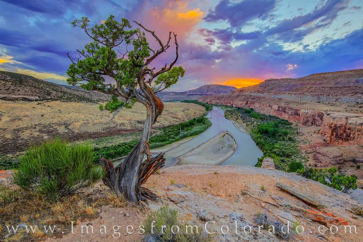
Black Ridge Canyons Wilderness is a 75,000-acre area on the northwest flank of the Uncompahgre Plateau near Fruita, Colorado. The landscape features seven major red rock canyon systems dissecting the high Black Ridge and draining into the Colorado River. The area offers moderate hiking with trails that can be rocky and uneven, typically taking about two hours to complete. Elevation at the trailheads is approximately 5,511 feet. The best season for hiking is September through November, when temperatures are mild and foliage changes. Visitors find parking available at various trailheads, including Rattlesnake Arches, Jones Canyon, and Knowles Canyon. Pets are permitted on the trails. The wilderness is managed by the Bureau of Land Management and was designated in 2000.
Trail profile
Gain
—
Avg grade
—
Steepest
—
High point
5,511 ft
Good to know
Parking at the trailhead
Restrooms available
Dogs allowed on leash
Waypoints
No waypoints mapped for this trail yet.
What people say
Reviews
No reviews yet
Been here? Help the next person out.
Within 30 miles
Nearby spots
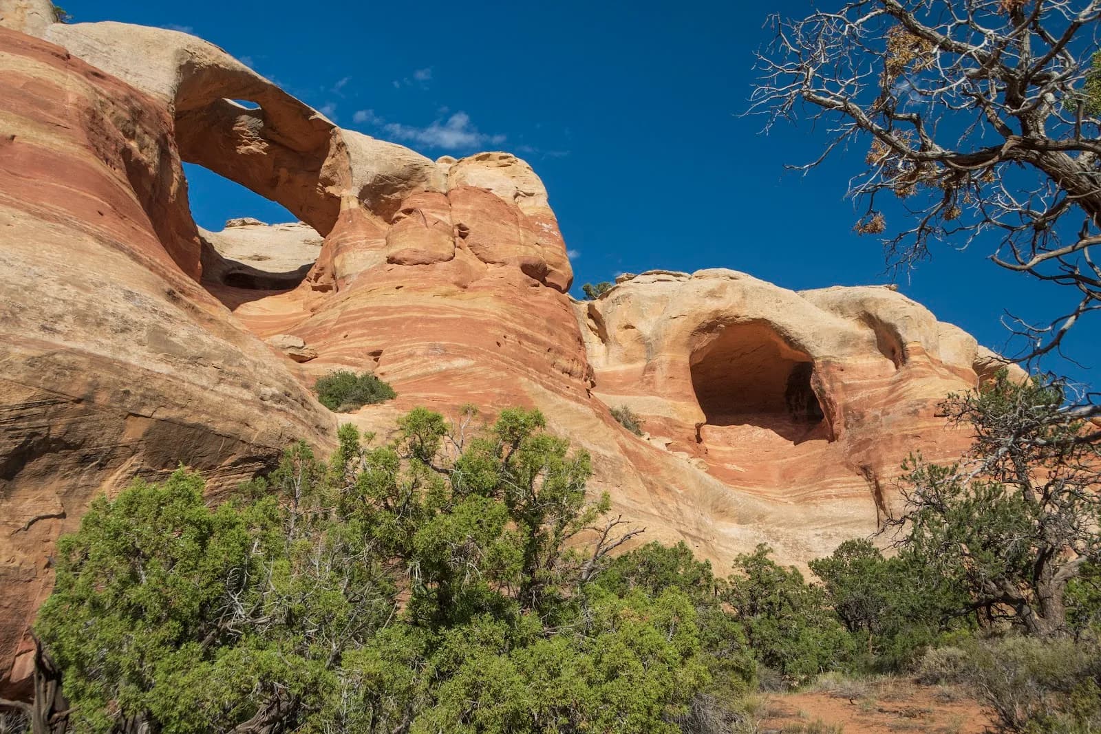
McInnis Canyons National Conservation Area
Rabbit Valley Campground