Fall Hiking · Fruita, CO
McInnis Canyons National Conservation Area
Before you go
Live · nearest station Grand Junction, 22 miGood window today.
Mostly Cloudy
Feels like 66°
Storm chance
5% tonight
Wind
5 mph E
Distance
—
Elevation gain
—
High point
4,897ft
Season
Sep - Novin season
About
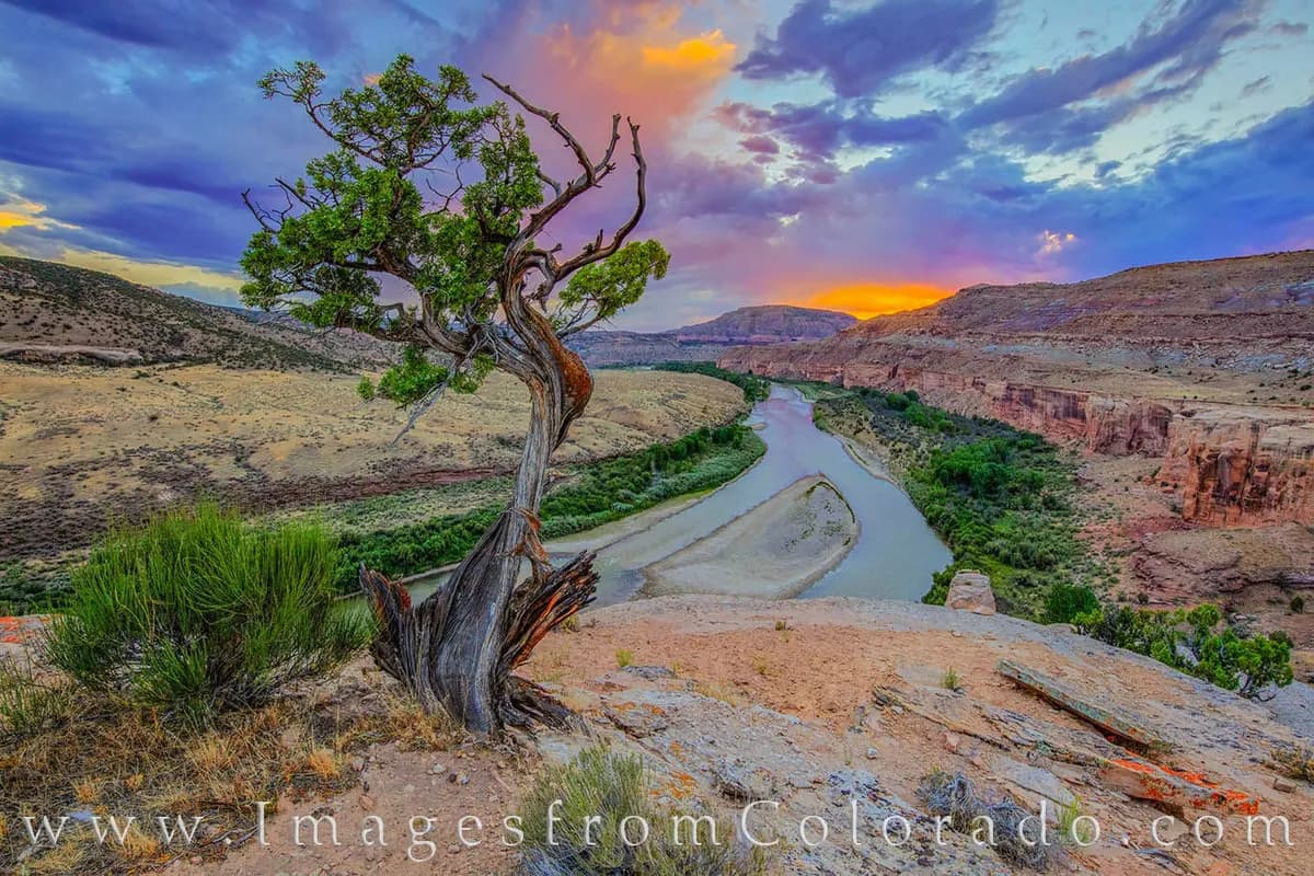
McInnis Canyons National Conservation Area is a 123,430-acre BLM-managed public land located just outside Fruita, Colorado, west of Grand Junction. The area features red-rock canyons, the second-largest concentration of natural arches in the United States, and a 25-mile stretch of the Colorado River known as the Ruby-Horsethief Corridor. Fall hiking is available from September through November, with moderate difficulty options available on trails such as Macks Ridge (7 miles) and Mary’s Loop/Horsethief Bench Loop (12.4 miles). The Trail Through Time offers access to an active dinosaur quarry for viewing fossils. Key trailheads include Devil's Canyon and Pollock Bench, accessible via Kingsview Road off exit 19. Parking is available at trailheads, and pets are permitted. The area is also popular for mountain biking.
Trail profile
Gain
—
Avg grade
—
Steepest
—
High point
4,897 ft
Good to know
Parking at the trailhead
Restrooms available
Dogs allowed on leash
Waypoints
No waypoints mapped for this trail yet.
What people say
Reviews
No reviews yet
Been here? Help the next person out.
Within 30 miles
Nearby spots
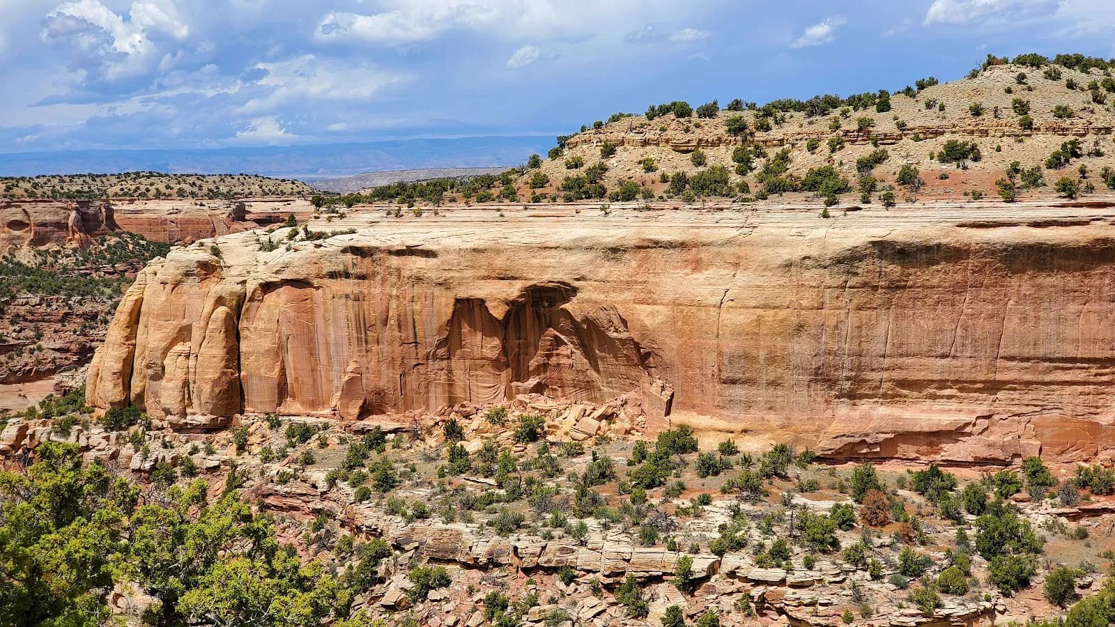
Black Ridge Canyons Wilderness (Colorado)
Rabbit Valley Campground