Hiking · Gunnison, CO
Budd Trail
Before you go
Live · nearest station Gunnison, 3 miGood window today. Daylight to 7:03 pm.
Thunderstorms
Feels like 62°
Storm chance
31% afternoon
Wind
5 mph NW
UV index
0.4 low
Sun window
6:56 am to 7:03 pm
Distance
1.3mi round trip
Elevation gain
129ft
High point
7,737ft
Season
Jan - Dec
About
Budd Trail is a 1.3-mile singletrack hike near Gunnison, Colorado, connecting the Lower Loop and Upper Loop trails. The trail begins by following Lower Loop into the woods, then branching left onto a newer, unsigned singletrack approximately one-quarter mile up Upper Loop. The route features initial steep switchbacks followed by a descent that reconnects with Lower Loop near the Peanut Mine. The terrain is notably rocky and slightly more technical than the adjacent loop trails, making it suitable for hikers seeking varied footing. Elevation sits at 7,737 feet. The trail is accessible year-round and typically takes about one hour to complete. Parking is available at the trailhead.
Trail profile
Gain
129 ft
Avg grade
2%
Steepest
2%
High point
7,737 ft
Good to know
Parking at the trailhead
Waypoints
Latest trail reportgood
Trail is in good condition. No significant obstacles or hazards reported.
Reported Mar 2, 2025Verified
What people say
Reviews
No reviews yet
Been here? Help the next person out.
Within 30 miles
Nearby spots
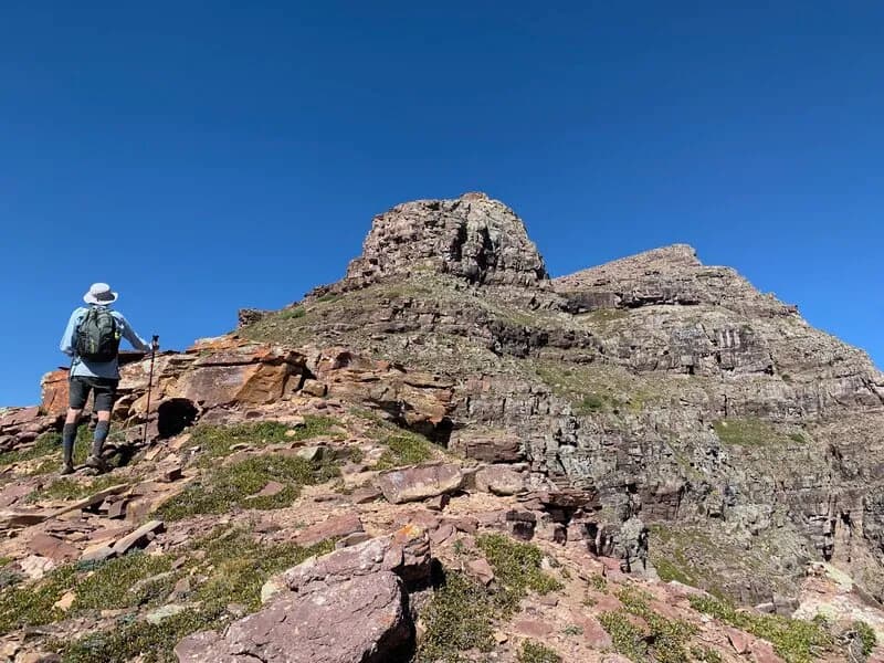
Teocalli Mountain Out and Back