Hiking · Gunnison, CO
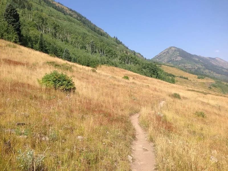
Teocalli Mountain Out and Back
Before you go
Live · nearest station Gunnison, 3 miGood window today. Daylight to 7:03 pm.
Thunderstorms
Feels like 61°
Storm chance
31% afternoon
Wind
5 mph NW
UV index
0.4 low
Sun window
6:56 am to 7:03 pm
Distance
4.9mi round trip
Elevation gain
197ft
High point
7,772ft
Season
Jan - Dec
About
Teocalli Mountain is a 13,208-foot peak near Gunnison and Crested Butte on Colorado's Western Slope. The name comes from the Aztec word for a pyramidal sacrificial mound, matching its distinct shape. The trail is classified as difficult and typically takes about three hours to complete. It covers approximately 4.9 miles for an out-and-back route, or roughly 5.1 kilometers if approached as a loop from nearby trailheads. The hike begins in forested areas and ascends steep grassy slopes before reaching rocky, exposed summit terrain. Loose rock is common near the top, requiring careful footing. Access is via West Brush Creek Road (738.2A). A four-wheel-drive vehicle is recommended to reach the trailhead directly, though hikers without 4x4s can start lower on the road and add mileage. Parking is available at the trailhead. The route allows hiking, biking, horseback riding, and dogs. Snow activities including skiing and snowshoeing are also permitted on the trail. The area offers views of the Elk Mountains, including nearby peaks like the Maroon Bells and Snowmass. The trail is accessible year-round.
Trail profile
Gain
197 ft
Avg grade
1%
Steepest
2%
High point
7,772 ft
Good to know
Parking at the trailhead
Waypoints
Latest trail reportgood
Trail is in good condition. No significant obstacles or hazards reported.
Reported Mar 2, 2025Verified
What people say
Reviews
No reviews yet
Been here? Help the next person out.
Within 30 miles