Hiking · Ouray, CO
Cascade Falls and the Chief Ouray Mine
Before you go
Live · nearest station Telluride, 10 miStorms build later today. Plan an early finish.
Thunderstorms
Feels like 46°
Trailhead temp
51° est. at 7,786 ft
Storm chance
50% tonight
Wind
5 mph E
UV index
0 low
Sun window
6:59 am to 7:06 pm
Distance
5.2mi round trip
Elevation gain
2,991ft
High point
10,997ft
Season
Jan - Dec
About
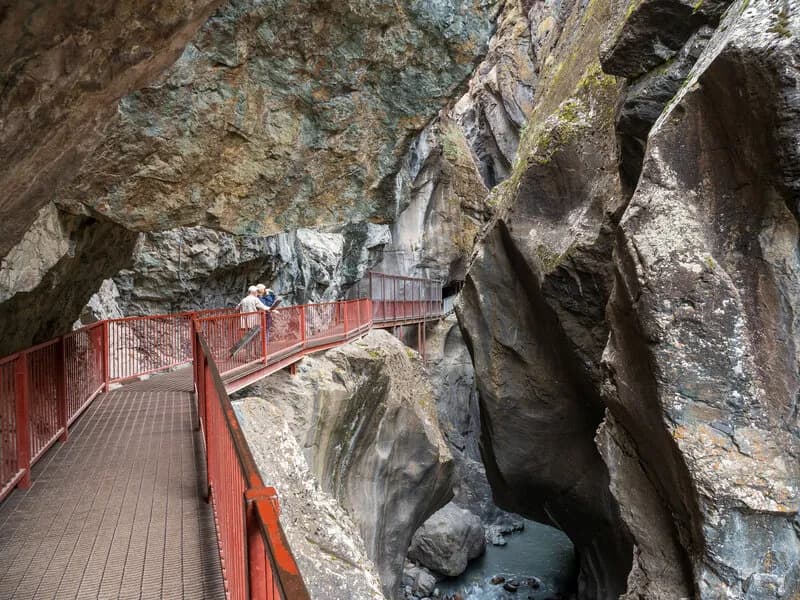
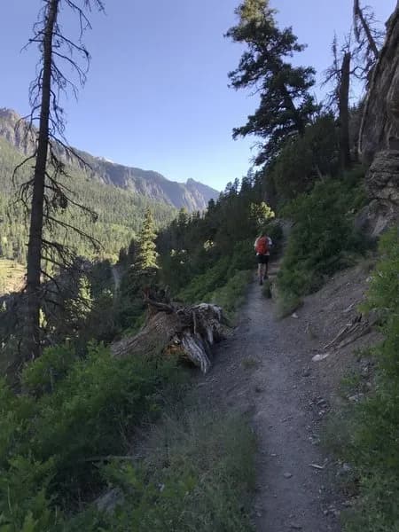
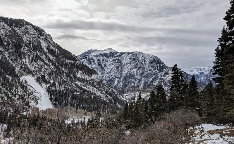
The Chief Ouray Mine via Upper Cascade Falls Trail is a strenuous out-and-back hike located just south of Ouray, Colorado. Starting from Lower Cascade Falls at the end of 8th Avenue, the route ascends through dense forest to the Amphitheater Campground. Hikers follow Trail #213, which offers clear views of the Amphitheater rock formation and the town below. After joining Trail #238, the grade steepens with switchbacks leading up Cascade Mountain. The trail reaches an elevation of approximately 10,200 feet near the Sneffels Range. The final section crosses Cascade Creek Gorge via a cliffside shelf and continues past the remains of a bunkhouse to the gated Chief Ouray Mine. The trail covers roughly 4.6 to 5.2 miles with an elevation gain of nearly 1,900 feet. It typically takes between three and four hours to complete. The route is rated difficult due to the sustained steep climb and rocky terrain. Wildlife including deer, wild turkeys, squirrels, black bears, and mountain lions inhabit the area. Spring and early summer provide strong water flow at Upper Cascade Falls, while winter months may bring snow and ice. Parking is available near the trailhead.
Trail profile
Gain
2,991 ft
Avg grade
11%
Steepest
31%
High point
10,997 ft
Good to know
Parking at the trailhead
Waypoints
Latest trail reportgood
Trail is in good condition. No significant obstacles or hazards reported.
Reported Mar 2, 2025Verified
What people say
Reviews
No reviews yet
Been here? Help the next person out.
Within 30 miles