Hiking · Ouray, CO
New Twin Peaks Trail
Before you go
Live · nearest station Telluride, 10 miGood window today.
Isolated Rain Showers
Feels like 52°
Trailhead temp
55° est. at 7,779 ft
Storm chance
15% afternoon
Wind
5 mph W
Distance
4.1mi round trip
Elevation gain
3,123ft
High point
10,784ft
Season
Jan - Dec
About
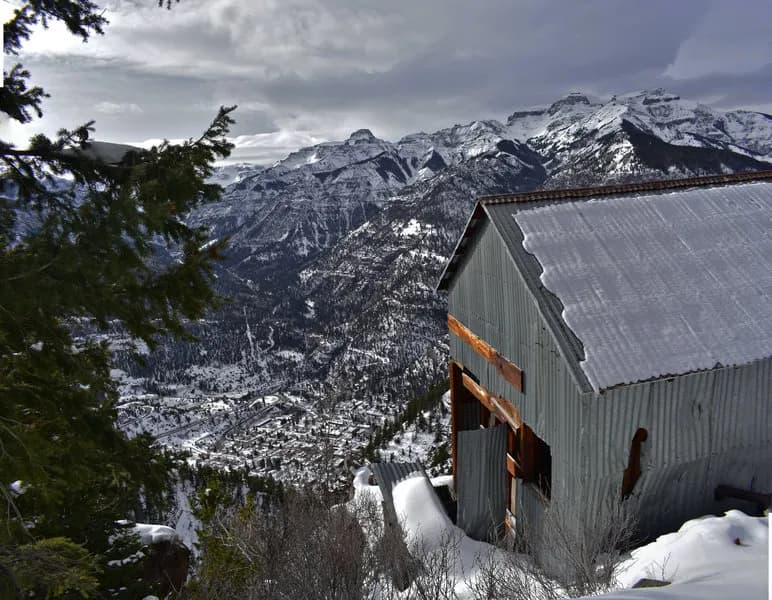
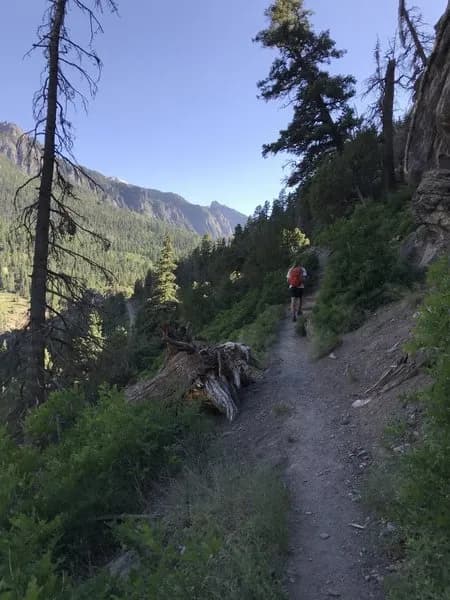
The New Twin Peaks Trail offers a strenuous ascent to a summit at 10,719 feet, providing panoramic views of Ouray, Ridgway, Yankee Boy Basin, and the Amphitheater. Located on the west side of Ouray, the trailhead is accessible via Oak Street and Queen Street, leading to the Oak Creek Trailhead. The route spans 4.1 miles with an estimated duration of approximately three hours. The path avoids the steeper direct climb of the Old Twin Peaks Trail by crossing Oak Creek and traversing an aspen field before cresting a bald ridge at mile 2.1. From there, Twin Peaks is a short 0.3-mile uphill walk. The trail is considered difficult and is accessible year-round, though winter conditions require preparation. Wildlife sightings may include deer, mountain goats, bighorn sheep, and occasionally mountain lions or bears.
Trail profile
Gain
3,123 ft
Avg grade
14%
Steepest
25%
High point
10,784 ft
Good to know
Parking at the trailhead
Waypoints
Latest trail reportgood
Trail is in good condition. No significant obstacles or hazards reported.
Reported Mar 2, 2025Verified
What people say
Reviews
No reviews yet
Been here? Help the next person out.
Within 30 miles