Hiking · Ouray, CO
Oak Creek Overlook
Before you go
Live · nearest station Telluride, 10 miStorms build later today. Plan an early finish.
Thunderstorms
Feels like 50°
Trailhead temp
53° est. at 7,779 ft
Storm chance
53% tonight
Wind
5 mph ENE
UV index
0 low
Sun window
6:59 am to 7:06 pm
Distance
6.09mi round trip
Elevation gain
3,238ft
High point
11,017ft
Season
Jan - Dec
About
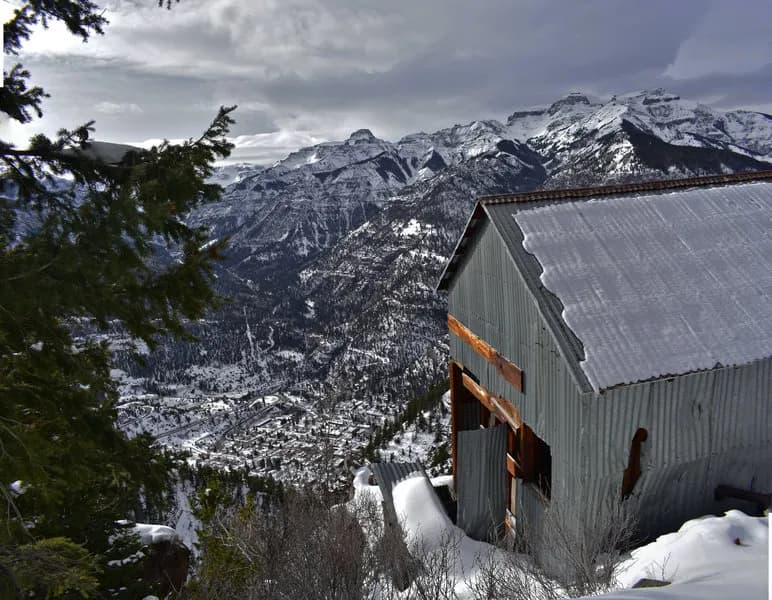
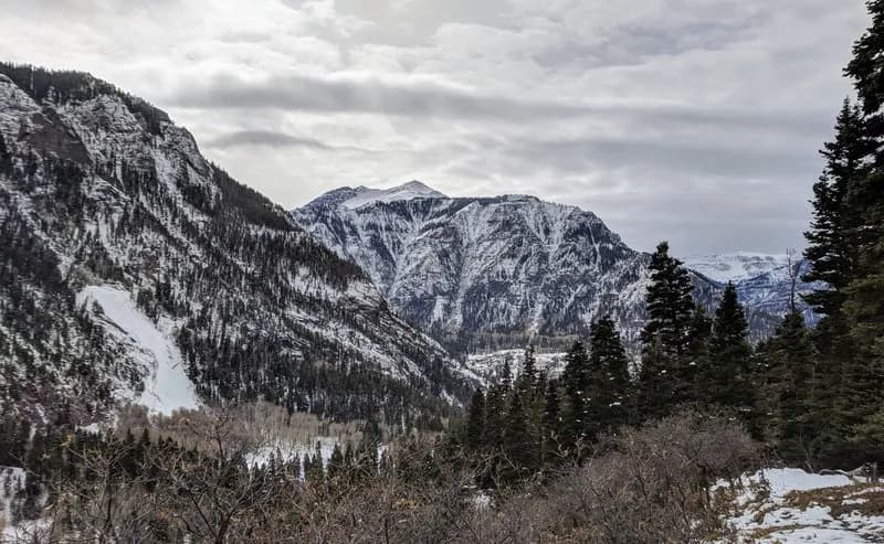
The Oak Creek Overlook trail in Ouray, Colorado, is a 6.09-mile difficult hike located on the Western Slope within the Uncompahgre National Forest. The trail begins at a shared trailhead on Oak Street, parallel to Main Street, and quickly gains elevation through steep switchbacks. The route follows the opposite bank of Oak Creek for approximately 0.75 miles before entering an overgrown meadow where route-finding becomes challenging due to less distinct paths. The trail crosses Oak Creek near a waterfall at roughly 9,500 feet and continues its final ascent to a rock fin overlook at 10,500 feet. This elevation gain of approximately 2,500 to 3,125 feet typically requires about four hours to complete. The overlook provides views of the Uncompahgre River Gorge, Hayden Mountain, Whitehouse Mountain, and the Amphitheater. The trail is accessible year-round with parking available at the trailhead. Early spring conditions may present snowmelt and higher water levels when crossing Oak Creek, though boulders provide a dry passage. Wildlife sightings include deer, mountain goats, and bighorn sheep, with occasional mountain lions or bears. Historical mining adits are visible a quarter-mile into the hike.
Trail profile
Gain
3,238 ft
Avg grade
10%
Steepest
26%
High point
11,017 ft
Good to know
Parking at the trailhead
Waypoints
Latest trail reportgood
Trail is in good condition. No significant obstacles or hazards reported.
Reported Mar 2, 2025Verified
What people say
Reviews
No reviews yet
Been here? Help the next person out.
Within 30 miles