Fall Hiking · Durango, CO
Ice Lake Trailhead
Before you go
Live · nearest station Telluride, 9 miStorms build later today. Plan an early finish.
Chance of Rain
Feels like 45°
Trailhead temp
43° est. at 9,837 ft
Storm chance
50% tonight
Wind
5 mph ESE
Distance
—
Elevation gain
—
High point
9,837ft
Season
Sep - Novin season
About
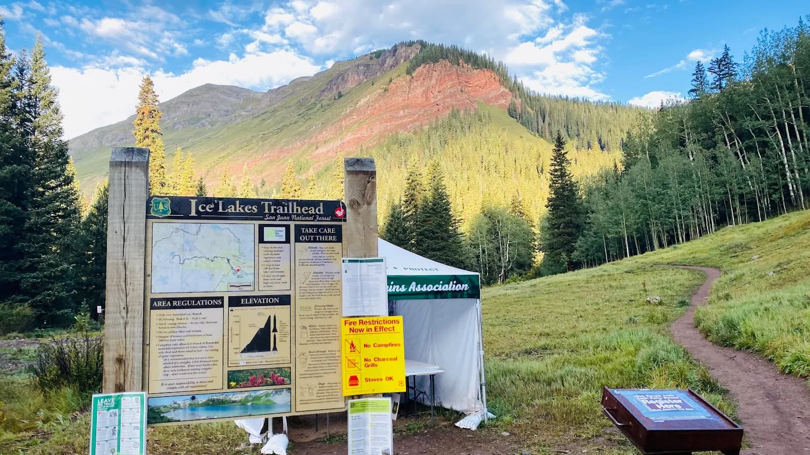
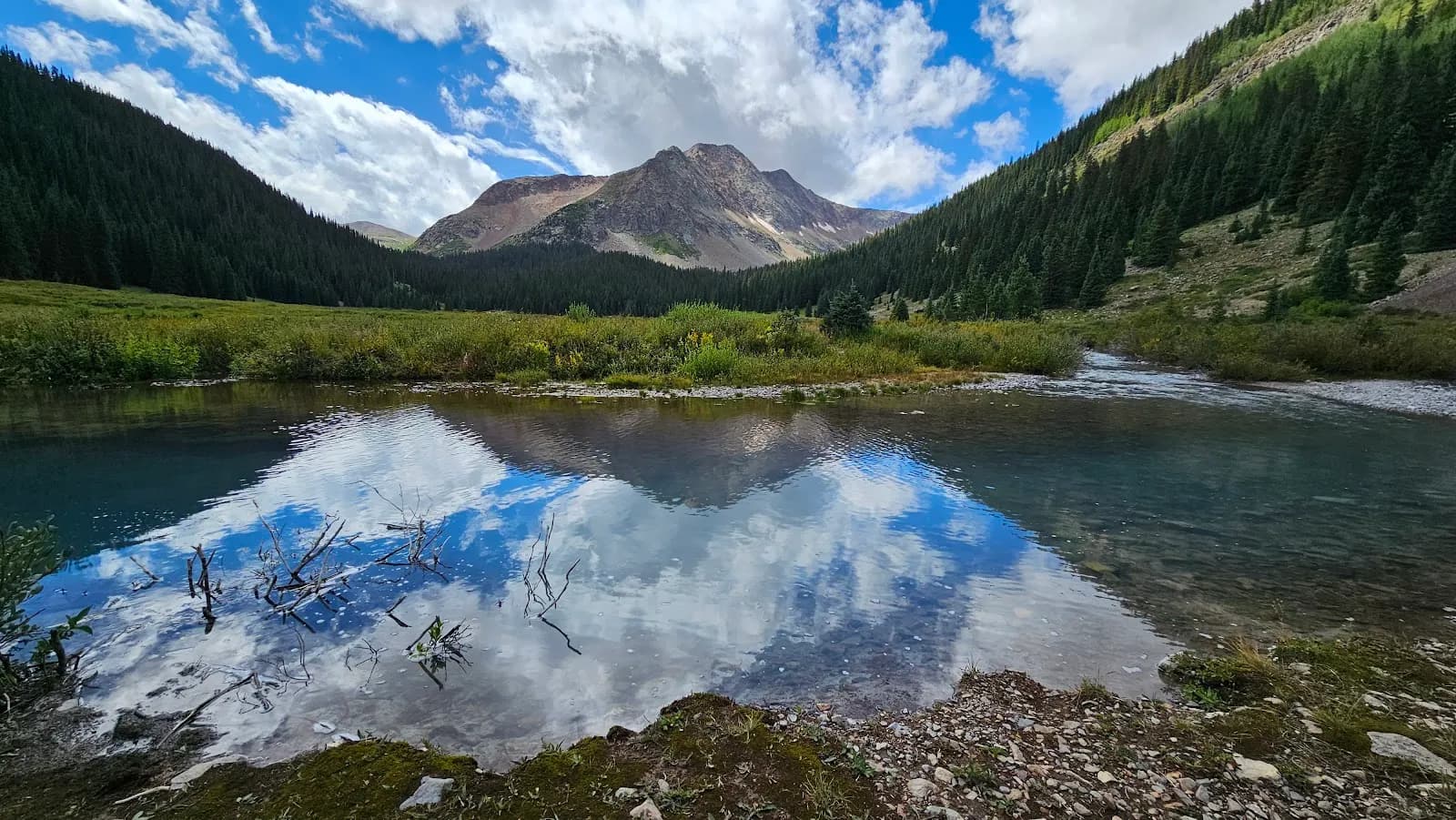
The Ice Lake Trailhead is a moderate to strenuous hiking destination located near Durango, Colorado, on the Western Slope. The trail leads to a high-alpine basin featuring turquoise lakes and views of peaks exceeding 13,000 feet. The route climbs approximately 2,430 feet over a round-trip distance of 7.0 miles to Ice Lake, or 8.4 miles to Island Lake. Hikers pass through aspen groves, coniferous forests, and subalpine meadows. The trail typically takes about 2 hours for the main ascent to the lower basin, though completing the full loop to Ice Lake requires more time. Fall is a suitable season for hiking from September through November, offering cooler temperatures and changing foliage. Parking is available at the trailhead, and pets are permitted. Restrooms are also provided. A significant factor for current visitors is the status of the trail following the CriticalGold Mountain Fire reported in October 2020. The area west of Silverton, including the Ice Lakes Trail and Clear Lake Road, remains closed to public entry due to safety concerns regarding fire-weakened trees and unstable soil. Hikers should verify current access status before visiting.
Trail profile
Gain
—
Avg grade
—
Steepest
—
High point
9,837 ft
Good to know
Parking at the trailhead
Restrooms available
Dogs allowed on leash
Waypoints
No waypoints mapped for this trail yet.
What people say
Reviews
No reviews yet
Been here? Help the next person out.
Within 30 miles