Fall Hiking · Durango, CO
Rico-Silverton Trailhead
Before you go
Live · nearest station Telluride, 11 miStorms build later today. Plan an early finish.
Thunderstorms
Feels like 46°
Trailhead temp
41° est. at 10,673 ft
Storm chance
50% tonight
Wind
5 mph E
UV index
0 low
Sun window
6:59 am to 7:06 pm
Distance
—
Elevation gain
—
High point
10,673ft
Season
Sep - Novin season
About
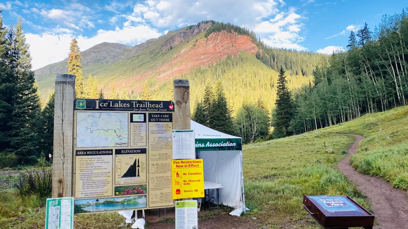
The Rico-Silverton Trailhead is a moderate hiking destination in the San Juan National Forest, located near Durango on Colorado's Western Slope. The site serves as an access point for Rico-Silverton Trail #507, a segment of the Colorado Trail that connects Denver to Durango. The trail ascends through subalpine coniferous forest and crosses two high mountain passes, offering views above timberline. Elevation at the trailhead is approximately 10,673 feet, with the route reaching higher peaks such as Grizzly Peak, Rolling Mountain, and Graysill Mountain. The typical hiking duration is about two hours, though the full one-way distance between FR 585 and FR 578 is approximately 12 miles. The trail is open for hiking, mountain biking, and horseback riding during the fall season, specifically from September through November. Parking is available at the trailhead, and pets are permitted. Road access is remote; 4WD or strong two-wheel drive vehicles with good clearance are recommended, particularly for the southern access off FR 578 near Bolam Pass. Water sources are present in the area, though filtering is advised due to potential Giardia.
Trail profile
Gain
—
Avg grade
—
Steepest
—
High point
10,673 ft
Good to know
Parking at the trailhead
Restrooms available
Dogs allowed on leash
Waypoints
No waypoints mapped for this trail yet.
What people say
Reviews
No reviews yet
Been here? Help the next person out.
Within 30 miles