Fall Hiking · Grand Junction, CO
Old Kiln Trailhead
Before you go
Live · nearest station Grand Junction, 6 miGood window today.
Mostly Cloudy
Feels like 56°
Trailhead temp
50° est. at 6,225 ft
Wind
0 mph
Gunnison River near Grand Junction is running 1,170 cfs and rising, water 62°.
Distance
—
Elevation gain
—
High point
6,225ft
Season
Sep - Novin season
About
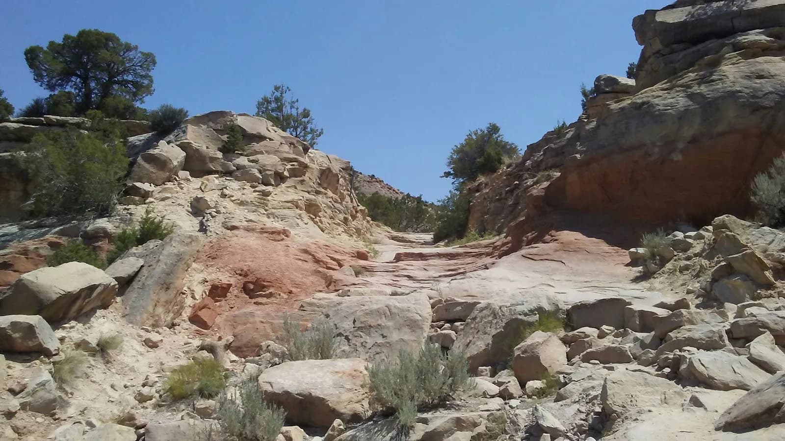
The Old Kiln Trailhead is a moderate hiking spot in Grand Junction, Colorado, located within the Bangs Canyon Management Area. The trail follows a former dirt road that leads to an old primitive lime kiln, a structure historically used to heat limestone for making mortar and whitewash. The route is approximately 0.8 miles long, with an elevation range between 6,225 and 6,302 feet. Hikers typically complete the out-and-back or loop trail in about 18 to 30 minutes, though some sources suggest a duration of up to two hours for a more leisurely pace. The surface is dirt, and the terrain is generally flat to gently rolling open grassland. The trail runs parallel to Four Mile Creek along an eroded bank, which shows signs of damage from the 2013 floods. Access is available just off Little Park Road, south of Grand Junction. Parking and restrooms are provided at the trailhead. The site is pet-friendly, allowing dogs, horses, and bicycles. Cell service is available with 3 to 5 bars. The recommended season for hiking is September through November, although the trail remains accessible year-round.
Trail profile
Gain
—
Avg grade
—
Steepest
—
High point
6,225 ft
Good to know
Parking at the trailhead
Restrooms available
Dogs allowed on leash
Waypoints
No waypoints mapped for this trail yet.
What people say
Reviews
No reviews yet
Been here? Help the next person out.
Within 30 miles
Nearby spots