Hiking · Ouray, CO
Old Twin Peaks Trail
Before you go
Live · nearest station Telluride, 10 miStorms build later today. Plan an early finish.
Chance of Rain
Feels like 45°
Trailhead temp
50° est. at 7,786 ft
Storm chance
50% tonight
Wind
5 mph ESE
Distance
0.68mi round trip
Elevation gain
62ft
High point
7,841ft
Season
Jan - Dec
About
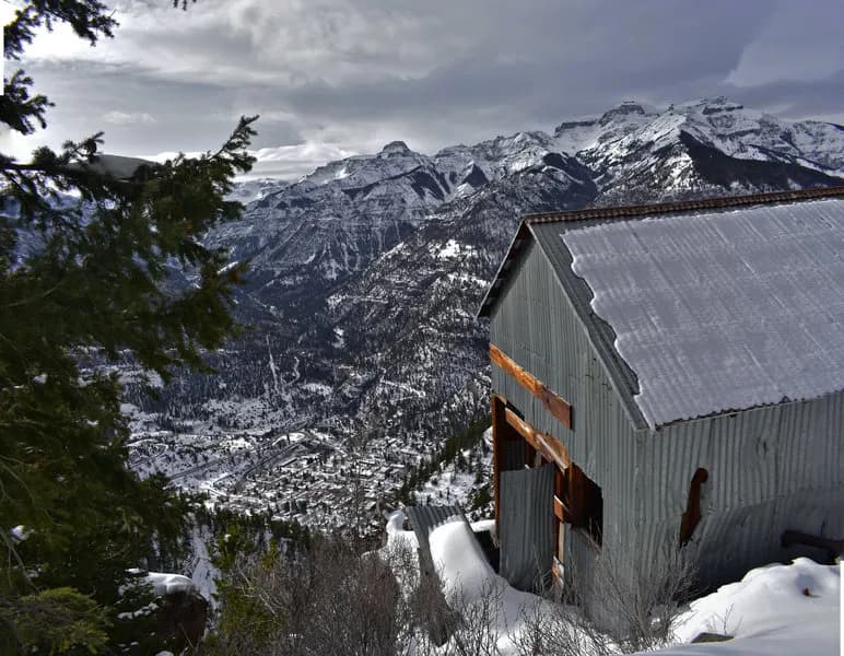
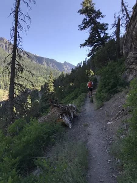
The Old Twin Peaks Trail is a short, steep hiking route in Ouray, Colorado, leading to an overlook with views of the town and surrounding peaks. The trailhead is located on Oak Street near Queen Street, with parking available at the intersection of Queen and South Pinecrest Drive. The route gains approximately 1,200 to 2,830 feet of elevation over a distance of roughly 0.68 miles to the summit area, though some sources cite a round-trip distance of 4.8 miles when including connecting paths. The trail is classified as difficult or challenging due to its steep pitch and uneven terrain. A significant feature of the trail is the 607 feet of cribbing installed in 2004 to stabilize the path after a mid-1980s rockslide. The surface is hard, and hikers are advised to use sturdy footwear and exercise caution, particularly on the descent. The trail is open year-round and allows leashed dogs. Wildlife sightings may include deer, mountain goats, bighorn sheep, mountain lions, and bears.
Trail profile
Gain
62 ft
Avg grade
2%
Steepest
2%
High point
7,841 ft
Good to know
Parking at the trailhead
Waypoints
Latest trail reportgood
Trail is in good condition. No significant obstacles or hazards reported.
Reported Mar 2, 2025Verified
What people say
Reviews
No reviews yet
Been here? Help the next person out.
Within 30 miles