Fall Hiking · Glenwood Springs, CO
Red Mtn / Jeanne Golay Trailhead
Before you go
Live · nearest station Glenwood Springs, 1 miGood window today.
Cloudy
Feels like 59°
Storm chance
13% tonight
Wind
5 mph NE
Roaring Fork at Glenwood Springs is running 434 cfs, water 59°.
Distance
—
Elevation gain
—
High point
5,850ft
Season
Sep - Novin season
About
The Red Mountain / Jeanne Golay Trailhead in Glenwood Springs offers a moderate 3.5-mile hike up a dirt and gravel road to the Red Mountain Cross at 7,450 feet. Starting from West 9th Street, the route begins with a short paved section before transitioning to dirt. The trail is accessible year-round but is best for fall hiking between September and November, offering views of the town and nearby peaks. Hikers can expect about two hours to reach the top, with elevation gain distributed across switchbacks and varied terrain including singletrack segments. The trail is open to foot traffic and mountain bikes, with a gate restricting motor vehicles at the start. Parking is available near the trailhead, though bikers are often directed to the nearby Community Center to reduce crowding. Dogs are permitted on leash. The path leads past historic orange lift towers from the former Red Mountain Ski Area and ends near a large cross visible at night. Restrooms are available at the trailhead.
Trail profile
Gain
—
Avg grade
—
Steepest
—
High point
5,850 ft
Good to know
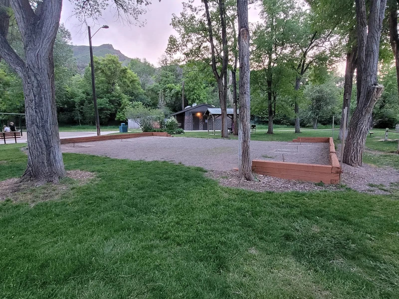
Parking at the trailhead
Restrooms available
Dogs allowed on leash
Waypoints
No waypoints mapped for this trail yet.
What people say
Reviews
No reviews yet
Been here? Help the next person out.
Within 30 miles