Hiking · Rifle, CO
Rifle Falls Hatchery
Before you go
Live · nearest station Glenwood Springs, 22 miGood window today. Daylight to 7:06 pm.
Cloudy
Feels like 66°
Storm chance
13% tonight
Wind
5 mph W
Sun window
6:59 am to 7:06 pm
Distance
—
Elevation gain
—
High point
6,879ft
Season
Jan - Dec
About
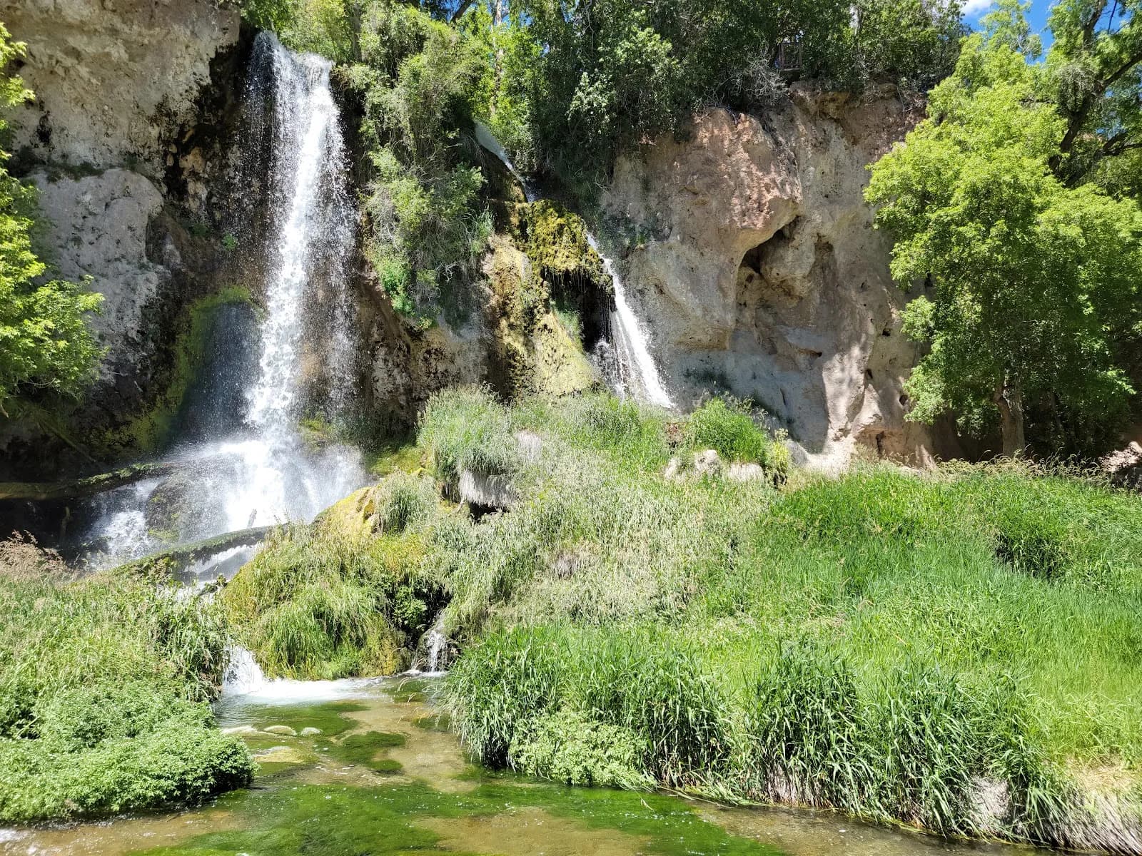
The Rifle Falls Hatchery is a moderate hiking destination located 14 miles north of Rifle, Colorado, along Highway 325. The site is bounded by limestone cliffs and connects to Rifle Falls State Park via the Bobcat Trail, which follows East Rifle Creek. The trail covers approximately 2 hours and leads to a cold water fish hatchery that is the largest state-owned trout production facility in Colorado. Visitors can observe rainbow, Snake River cutthroat, brook, brown, and native Colorado River cutthroat trout. The hatchery features indoor raceways and two public fishing ponds located above the falls, which are not visible from the highway. Visitor parking is available on the west side of the road. The site offers self-guided tours year-round and free guided tours during the summer months, supported by volunteers. Amenities include 'Feed the Fish' dispensers requiring quarters and interpretive displays regarding the limestone cliffs and cave systems. The surrounding riparian area supports wildlife including mule deer, rabbits, chipmunks, raccoons, tiger salamanders, bullsnakes, and various bird species such as mountain bluebirds and turkey vultures. The trail is pet-friendly and accessible throughout the year.
Trail profile
Gain
—
Avg grade
—
Steepest
—
High point
6,879 ft
Good to know
Parking at the trailhead
Dogs allowed on leash
Waypoints
No waypoints mapped for this trail yet.
What people say
Reviews
No reviews yet
Been here? Help the next person out.
Within 30 miles
Nearby spots
Rifle Falls State Park