Fall Hiking · Rifle, CO
Rifle Gap State Park
Before you go
Live · nearest station Glenwood Springs, 23 miGood window today. Daylight to 7:06 pm.
Cloudy
Feels like 60°
Storm chance
13% tonight
Wind
5 mph NNE
UV index
0 low
Sun window
6:59 am to 7:06 pm
Distance
3mi round trip
Elevation gain
—
High point
6,000ft
Season
Sep - Novin season
About
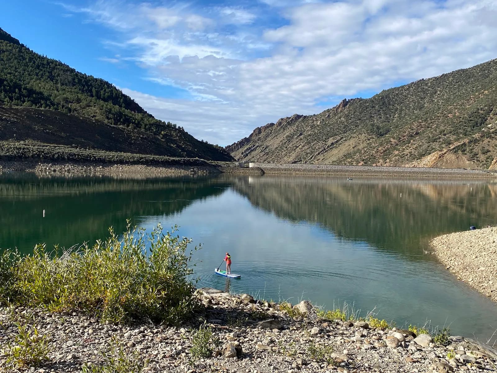
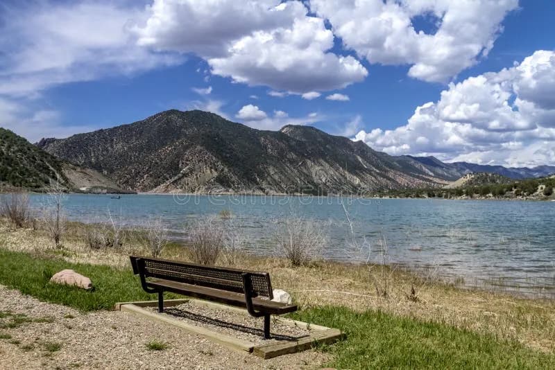
Rifle Gap State Park is a 1,341-acre recreational area located north of Rifle, Colorado, centered around a 360-acre reservoir. The park sits at an elevation of approximately 6,000 feet and is surrounded by pinyon and cedar-covered mountains. For hikers, the primary trail is a moderate 3-mile loop that typically takes about two hours to complete. The trail is accessible year-round but is particularly suitable for fall hiking from September through November, when temperatures are mild. The terrain varies, offering scenic views of the reservoir and surrounding gap. The park provides ample parking, restrooms, and is pet-friendly. While the reservoir is the dominant feature known for boating and fishing, the hiking trail itself does not require water sources along the path. Access is via Highway 325, off Highway 13. The park is open daily with standard vehicle entry fees applying.
Trail profile
Gain
—
Avg grade
—
Steepest
—
High point
6,000 ft
Good to know
Parking at the trailhead
Restrooms available
Dogs allowed on leash
Waypoints
No waypoints mapped for this trail yet.
What people say
Reviews
No reviews yet
Been here? Help the next person out.
Within 30 miles