Fall Hiking · Grand Junction, CO
Rough Canyon
Before you go
Live · nearest station Grand Junction, 6 miGood window today.
Mostly Cloudy
Feels like 62°
Trailhead temp
57° est. at 6,141 ft
Storm chance
2% tonight
Wind
0 mph
Gunnison River near Grand Junction is running 1,170 cfs and falling, water 64°.
Distance
—
Elevation gain
—
High point
6,141ft
Season
Sep - Novin season
About
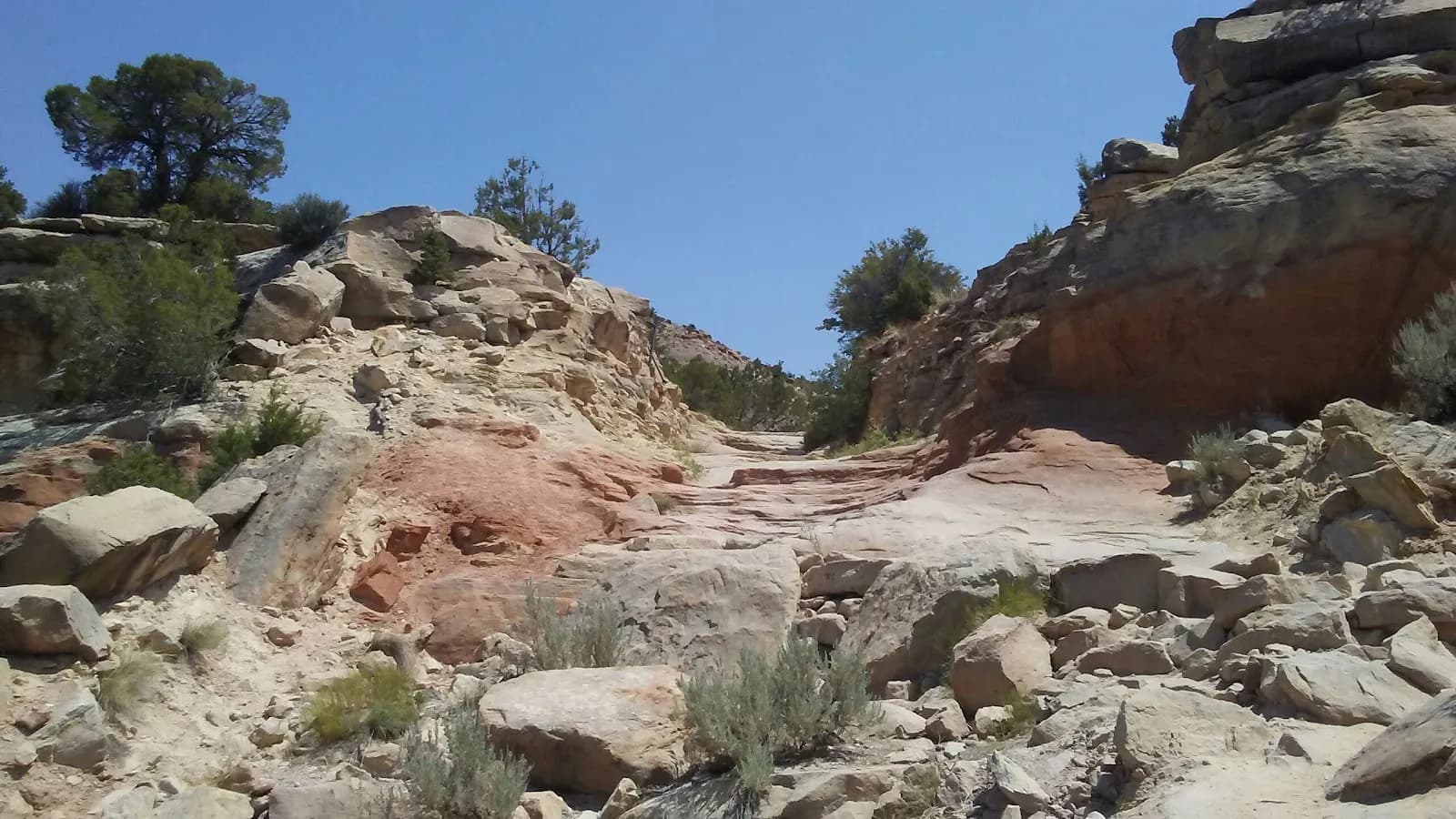
Rough Canyon is a moderate hiking destination located in the BLM Bangs Canyon Management Area, approximately south of Grand Junction. The trail descends from the Bangs Canyon Staging Area into a deep sandstone canyon, following the seasonal stream bed of Ladder Creek. The route features rugged terrain with scrambling over boulders and rock falls, particularly in the middle section where the trail becomes more primitive. Hikers encounter scenic elements including towering cliffs, deep ravines, hidden pools, and small waterfalls that may appear depending on the season. The area supports a riparian environment with cottonwood trees, oaks, and bushes. The hike is accessible from September through November, with parking available at the trailhead. The trail is pet-friendly. While some sources describe the difficulty as moderate with a duration of about two hours, others note the strenuous scrambling and route-finding can extend the time, with total round-trip distances ranging from 3 to 5 miles depending on the specific path taken (such as using the Tabeguache Trail for a loop). Water is not guaranteed in the stream bed, so hikers should bring their own supply.
Trail profile
Gain
—
Avg grade
—
Steepest
—
High point
6,141 ft
Good to know
Parking at the trailhead
Restrooms available
Dogs allowed on leash
Waypoints
No waypoints mapped for this trail yet.
What people say
Reviews
No reviews yet
Been here? Help the next person out.
Within 30 miles
Nearby spots
Bangs Canyon Off-Road Playground - ADACGJ Attraction