Hiking · Gunnison, CO
Strand Hill Road
Before you go
Live · nearest station Gunnison, 1 miStorms build later today. Plan an early finish.
Thunderstorms
Feels like 58°
Storm chance
57% tonight
Wind
5 mph N
Distance
2.5mi round trip
Elevation gain
226ft
High point
8,051ft
Season
Jan - Dec
About
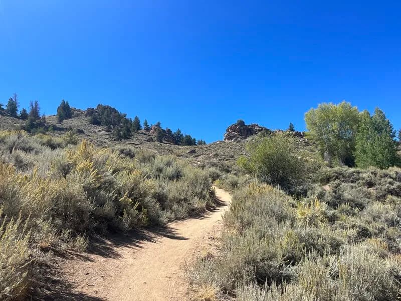
Strand Hill Trail #556 is a moderate 2.1 to 2.5 mile hiking route in Gunnison National Forest, located near Gunnison and Mount Crested Butte on the Western Slope. The trail begins on Forest Service Road 736.1A (Strand Hill Road) and connects to the Strand Bonus Trail #407, allowing for a roughly 4.8-mile loop when combined with Ferris Road and Brush Creek Road. Hikers descend through aspen groves and open meadows with views of surrounding mountains. The elevation ranges from approximately 9,137 to 9,765 feet, with a total gain or loss of about 628 feet depending on direction. The trail is open to hiking, dogs (on leash), bikes, and horses. Parking is available at the trailhead off FSR 736.1A. Seasonal conditions include snow cover from January to April, which may require traction devices due to icy sections. Summer offers wildflowers and generally clear conditions from June through September. The typical duration for the single trail is about one hour, while the full loop takes approximately three to five hours.
Trail profile
Gain
226 ft
Avg grade
2%
Steepest
3%
High point
8,051 ft
Good to know
Parking at the trailhead
Waypoints
Latest trail reportgood
Trail is in good condition. No significant obstacles or hazards reported.
Reported Mar 2, 2025Verified
What people say
Reviews
No reviews yet
Been here? Help the next person out.
Within 30 miles