Fall Hiking · Cedaredge, CO
Surface Creek Trailhead
Before you go
Live · nearest station Delta County, 11 miGood window today.
Cloudy
Feels like 61°
Trailhead temp
57° est. at 6,095 ft
Storm chance
17% tonight
Wind
5 mph ESE
Uncompahgre River at Delta is running 403 cfs, water 61°.
Distance
—
Elevation gain
—
High point
6,095ft
Season
Sep - Novin season
About
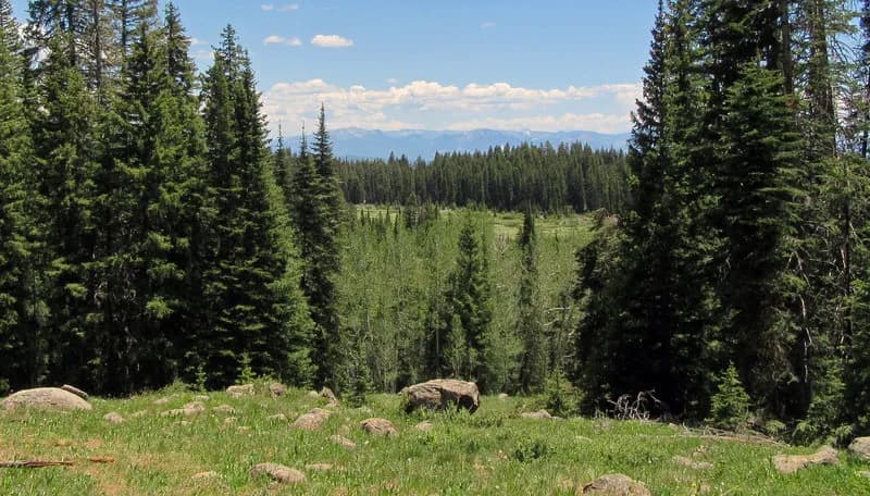
The Surface Creek Trailhead in Cedaredge serves as the access point for a maintained gravel trail following Surface Creek. The trail is moderate in difficulty, featuring an out-and-back route where the return hike adds intensity due to elevation gain. It is suitable for fall hiking, typically requiring about two hours to complete. Parking is available, though some sources note it may be street parking rather than a dedicated lot. The trail is pet-friendly, but dogs must be kept on a leash. Visitors often encounter deer along the route. A unique feature is a library book installed along the trail that reveals pages as hikers progress; this feature is updated monthly during the summer. The trail can be combined with Old Goat Road to extend the hike to over 10 miles. The area is lined with trees and flowering shrubs, offering shade in summer and foliage in the fall.
Trail profile
Gain
—
Avg grade
—
Steepest
—
High point
6,095 ft
Good to know
Parking at the trailhead
Restrooms available
Dogs allowed on leash
Waypoints
No waypoints mapped for this trail yet.
What people say
Reviews
No reviews yet
Been here? Help the next person out.
Within 30 miles