Hiking · Ouray, CO
Sutton Mine Trail to the Neosho Mine
Before you go
Live · nearest station Telluride, 10 miGood window today.
Isolated Rain Showers
Feels like 52°
Trailhead temp
55° est. at 7,792 ft
Storm chance
15% afternoon
Wind
5 mph W
Distance
4.2mi round trip
Elevation gain
1,497ft
High point
9,629ft
Season
Jan - Dec
About
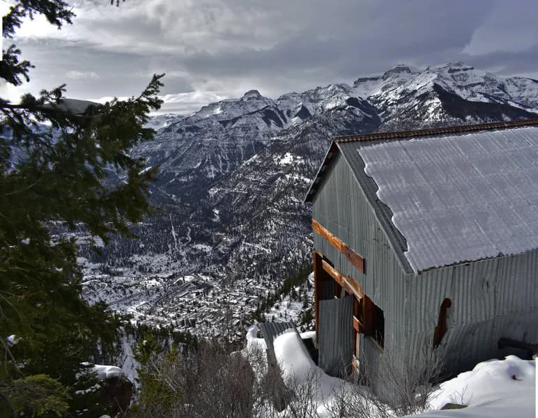
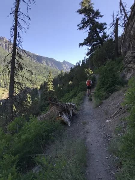
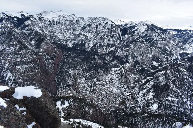
The Sutton Mine Trail to the Neosho Mine is a 4.2-mile difficult hike located on the southwest outskirts of Ouray, Colorado. The trail begins at County Road 361 (Camp Bird Road) with steep switchbacks for the first half mile, gaining elevation to a 9,000-foot shelf. After reaching the Ouray Overlook, which offers views of the Uncompahgre River Gorge and Abrams Mountain, the trail levels off. It winds along a bench through spruce, fir, and aspen groves, passing rocky outcrops and gullies. The route ends near the historic Neosho Mine, where old buildings including a bunkhouse, office, and blacksmith shop remain. Although the trail is named for the Sutton Mine, it terminates at the Neosho Mine site; the actual Sutton Mine sits higher on the mountainside. The trail is accessible year-round, though winter conditions may require preparation. Parking is available at the trailhead, and an outhouse is located near the end of the trail. The hike typically takes about three hours and involves approximately 1,260 feet of elevation gain.
Trail profile
Gain
1,497 ft
Avg grade
7%
Steepest
8%
High point
9,629 ft
Good to know
Parking at the trailhead
Waypoints
Latest trail reportgood
Trail is in good condition. No significant obstacles or hazards reported.
Reported Mar 2, 2025Verified
What people say
Reviews
No reviews yet
Been here? Help the next person out.
Within 30 miles