Drone Photos Reveal Historic Flood Damage in Pagosa Springs
Aerial drone footage documents severe flood damage in Pagosa Springs and La Plata County after two historic storms, revealing washed-out foundations, destroyed bridges, and debris-strewn rivers.
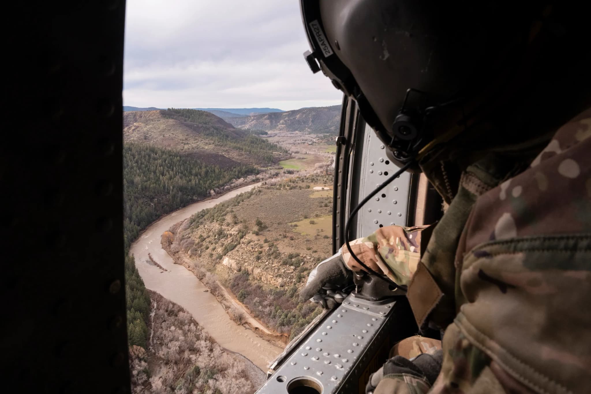
Durango —"From above, the landscape tells the story of the floods."
That observation from The Colorado Sun captures what it feels like to look at these images: a sudden, stark clarity that ground-level chaos often obscures. In the days following two historic flood events in just over a week, the visual evidence is overwhelming, and it hits close to home for anyone who has watched the water rise in Pagosa Springs, Durango, or along the highways of Archuleta and La Plata counties.
Cheney Orr, a photographer for The Colorado Sun via Report for America, joined a flyover with the Colorado National Guard to document the aftermath. His drone footage and stills reveal rivers that have carved new channels through established neighborhoods, washing away the very foundations of our communities. It’s a reminder that when we say "historic," we aren’t using the word lightly; we are describing a physical reshaping of the terrain.
If you look closely at the photo of James Bankston’s home in Pagosa Springs, dated Nov. 3, you can feel the precariousness of it all. At 75 years old, Bankston’s house teeters over the river’s edge after floodwaters washed away much of its foundation. It is a visceral image, one that forces you to wonder about the sound of water against wood, the smell of wet earth and displaced drywall, the terrifying silence that follows a roar.
The destruction extends well beyond single-family homes. Orr’s images show floodwaters surrounding homes along U.S. 84 south of Pagosa Springs on Nov. 2, while in La Plata County, a flooded trailer park sits submerged on Nov. 6. In South Fork, Mike Smith, the general manager of Fun Valley Family Resort, is seen crossing a gap in a flood-damaged bridge on wooden planks. That image, captured on Oct. 27, predates the second major storm but highlights a recurring vulnerability: our infrastructure is not built for this level of consecutive, intense saturation.
The scale of the debris field is staggering. Orr’s photos show vehicles overturned and stuck in mud in Archuleta County, an RV toppled on its side near U.S. 84, and a house with its foundation entirely gone. The San Juan River in Pagosa Springs is captured with debris swept up by a strong current, a churning brown line that looks less like a river and more like a conveyor belt of destruction.
These floods have damaged roads and other structures, prompting evacuations across the region. The paper reported that heavy rains caused severe flooding for a second consecutive week, a pattern that leaves little time for recovery before the next storm hits. For neighbors in the valley, this means a prolonged period of assessing losses and rebuilding, often with limited access to their own properties.
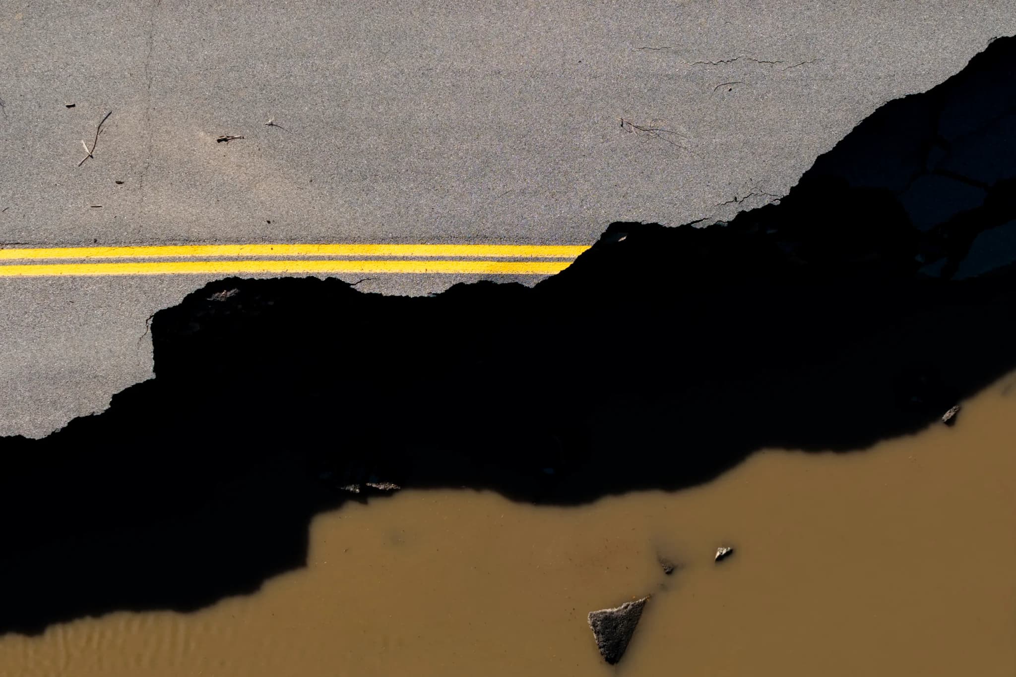
The U.S. Highway 160 bridge over the Piedra River stands as a marker of the water's force, while mudslides have affected the highway over Wolf Creek Pass. These are not just scenic routes; they are lifelines, connections to healthcare, schools, and the rest of the state. When a bridge is damaged or a road is buried under mud, the isolation sets in quickly.
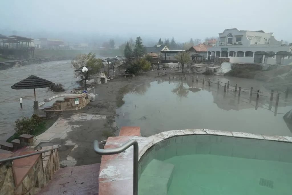
There’s a warmth to the community response that emerges even in these images of ruin, though the photos themselves are cold and factual. We see workers cleaning up mud at Pagosa Hot Springs Resort, a contractor removing trailers from the muck. It is laborious, gritty work, done in the face of a landscape that has been fundamentally altered.
As you scroll through these images, let your eyes rest on the texture of the mud, the sharp lines of a washed-out foundation, the stillness of an overturned vehicle. The water has receded, but the evidence remains. It is a record of resilience and loss, captured from above, waiting for us to look down and see what we must now rebuild.
Keep up with Durango
The day's Western Slope news, one email each morning. Free.