Labor Day Weekend Flash Flood Risk Rises Over Western Colorado
Monsoonal moisture returns to the High Country, raising flash flood risks during Labor Day weekend. NWS warns of heavy downpours and debris flows off burn scars.
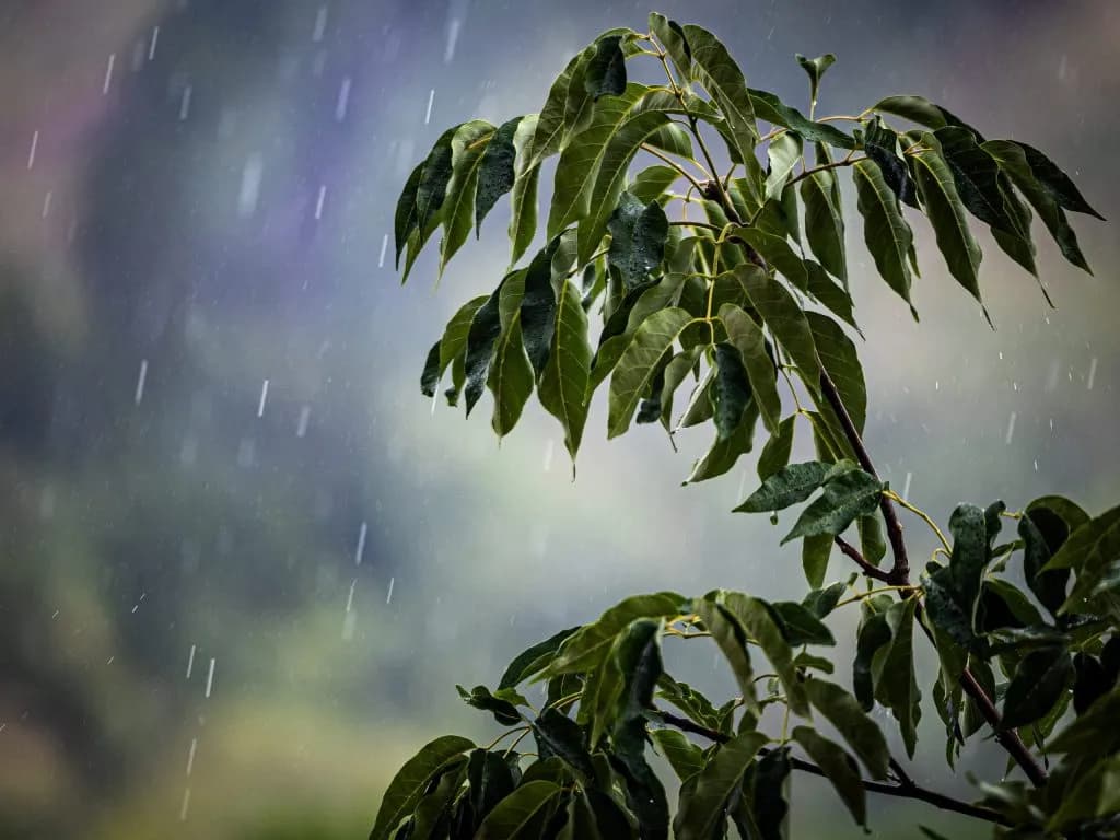
Aspen —The sky over the mountains is already bruised purple, a heavy lid of cloud pressing down on the ridgeline. It’s that specific kind of silence that precedes a downpour, the air thick with moisture and the smell of wet pine. For folks planning to hit the trails or just sit on a porch with a cold one this Labor Day weekend, that silence might be the last thing they see before the rain starts.
Monsoonal moisture is moving back into the High Country, and it’s not leaving anytime soon. The Vail Daily reported that while this weekend’s storm pattern may be weaker than the chaos we saw in late August, isolated storms are still expected to bring heavy downpours. And that matters because the ground is already saturated.
Brooke Scholtens, a meteorologist with the National Weather Service, noted that having two full days of high precipitation chances inherently increases the flash flooding risk. She pointed specifically to debris flows off recent burn scars, a detail that should give anyone near a steep slope pause. "It’s definitely on our radar as we go into the weekend with multiple rounds of showers and storms expected," Scholtens said.
The timing is tricky. Friday, Sept. 4, and Saturday, Sept. 5, look like they’ll deliver sunny mornings before scattered late-afternoon showers kick in over the higher terrain. But Sunday and Labor Day Monday are where it gets messy. National Weather Service estimates show the chance of thunderstorms jumping from 10% or 20% to around 50% in parts of western Colorado. That’s not a guarantee, but it’s enough to keep an eye on the sky and maybe reroute your hike if you see those clouds stacking up.
Temperatures are holding steady, slightly warmer than normal for this shoulder season transition. Mountain towns are expected to see highs in the high-60s to low-80s, with lows hovering around the mid-40s and 50s. It’s a comfortable backdrop for a holiday, provided you keep an eye on the weather app.
The uncertainty really kicks in after Monday. Scholtens explained that models tend to diverge come Tuesday, with some supporting a continued rainy forecast and others suggesting the moisture will finally break. "It’s hard to tell past Monday how long we hold onto the precipitation chances, and it’s just something we have to wait to figure out," she said. She added that tropical systems spinning in the eastern Pacific could also influence how long this moisture sticks around.
For now, the advice is simple: check the local forecast and flood risk before you head out. The mud and rockslides from late August are still fresh in mind for many towns, and the ground doesn’t forgive a second soaking as quickly.
Back on that ridge, the first fat drops are hitting the leaves, a sudden, sharp percussion against the green. The air cools instantly, the purple sky darkening to a deep slate gray as the first rumble of thunder rolls down from the peaks, shaking the ground just enough to feel in your chest.
Keep up with Aspen
The day's Western Slope news, one email each morning. Free.